use +/- or mouse scrollwheel for magnification.
click here
for full-sized image.

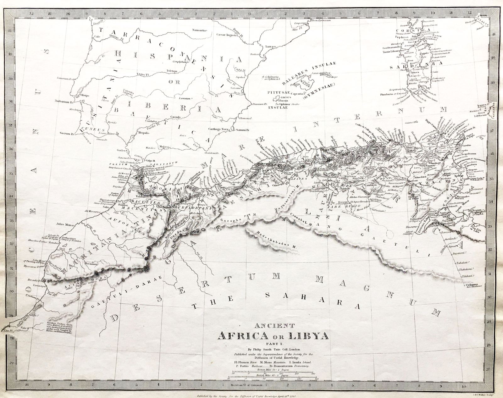
Ancient Africa or Libya, parts I and II
This item has been sold.
Please check our homepage for currently available maps.
A set of two highly detailed and informative maps of ancient northern Africa from the SDUK atlas. The first map encompasses the territory from Mauritania (modern Morocco) to modern-day Tunisia. The second map continues to modern Libya and western Egypt. The pair of maps also depict most of ancient Iberia, the Balearic Islands, Sardinia, Malta, the southern Peloponnese and part of the Greek archipelago. Please check our homepage for currently available maps.
Item Number: pb1261
Cartographer: Society for the Diffusion of Useful Knowledge
Place & Date: London / 1840/1852
Size: 15 1/4" x 12 3/8" (each map)
Condition: b&w, overall age toning
Price: SOLD