use +/- or mouse scrollwheel for magnification.
click here
for full-sized image.

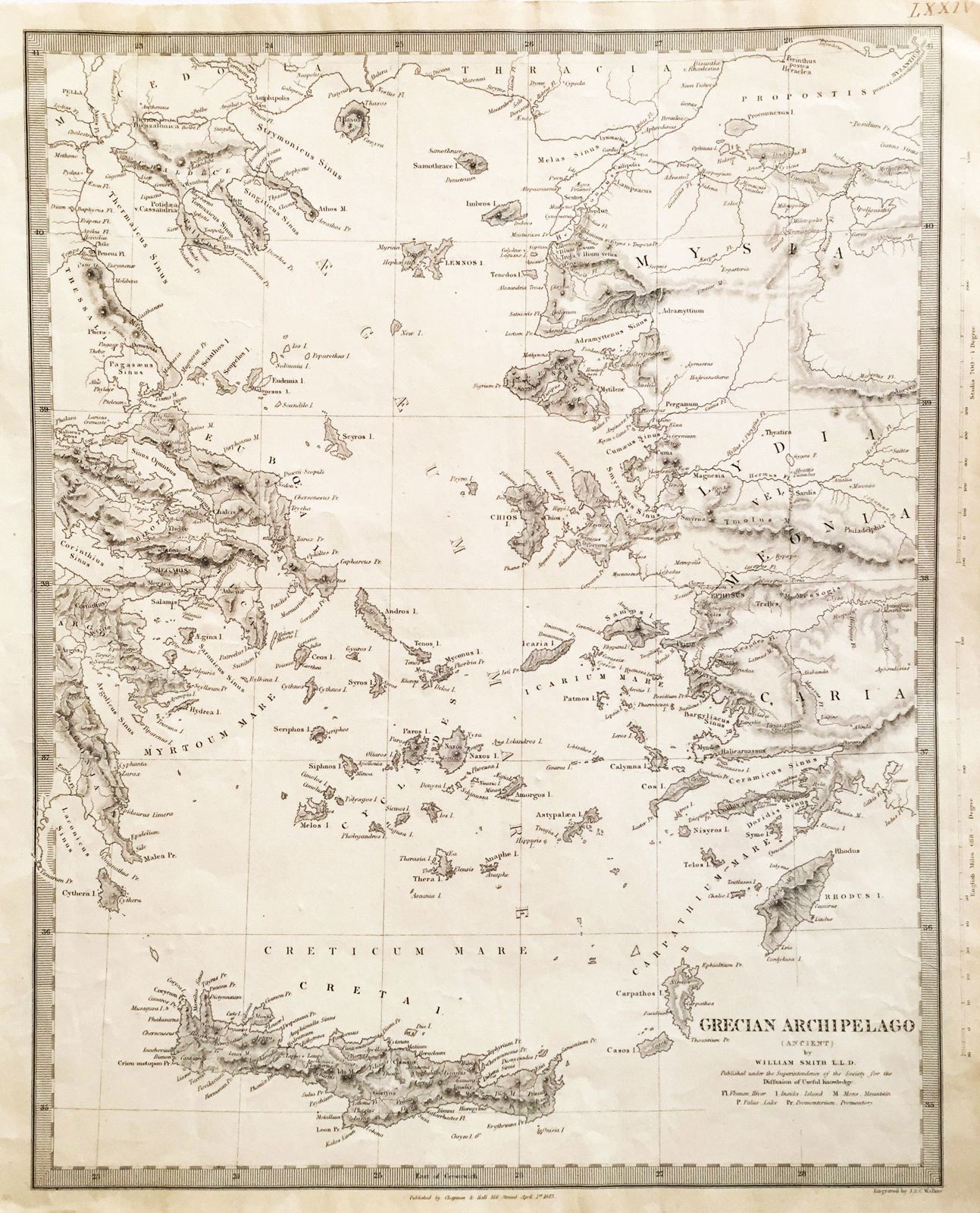
Grecian Archipelago (ancient).
This item has been sold.
Please check our homepage for currently available maps.
A meticulously accurate map of the Aegean islands and Crete with ancient Latin place names, from the SDUK atlas. Please check our homepage for currently available maps.
Item Number: pb1256
Cartographer: Chapman & Hall, Society for the Diffusion of Useful Knowledge
Place & Date: London / 1843/1852
Size: 12" x 15 1/2"
Condition: b&w, light overall age toning
Price: SOLD