use +/- or mouse scrollwheel for magnification.
click here
for full-sized image.

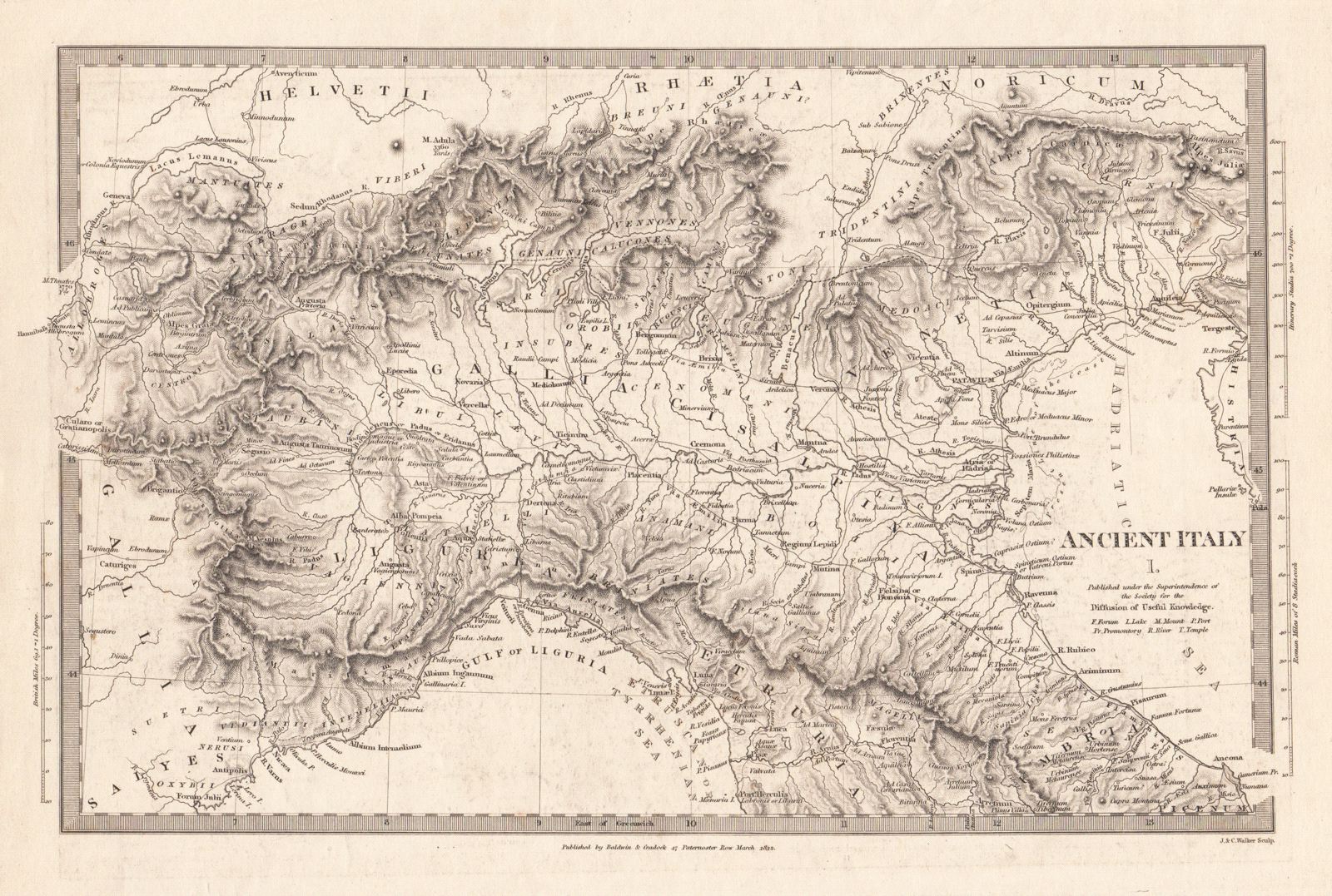
Ancient Italy I, II, and III
This item has been sold.
Please check our homepage for currently available maps.
A set of three fascinating maps of ancient Italy from the SDUK atlas showing northern Italy down to Tuscany (Italy I), central and southern Italy to the gulfs of Policastro and Tarranto (Italy II), and the toe of the Italian Peninsula, Sicily, and the Maltese islands, all with rich topographical detail and many Latin place names. Please check our homepage for currently available maps.
Item Number: pb1249
Cartographer: Baldwin & Cradock, Society for the Diffusion of Useful Knowledge
Place & Date: London / 1832/1852
Size: 14 7/8" x 11 1/4" (largest of the three maps)
Condition: b&w; overall age toning, minor staining and some light overprinting
Price: SOLD