use +/- or mouse scrollwheel for magnification.
click here
for full-sized image.

Italy IV
This item has been sold.
Please check our homepage for currently available maps.
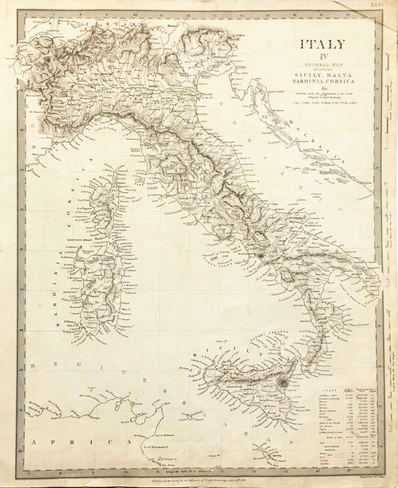
The general map of Italy from the SDUK atlas, including Sicily, Malta, Sardinia, and Corsica, plus a list of the various pre-unification Italian states, their size, population (as of 1828), and population density. Please check our homepage for currently available maps.
Item Number: pb1246
Cartographer: Society for the Diffusion of Useful Knowledge
Place & Date: London / 1840/1852
Size: 15 5/8" x 12 5/8"
Condition: b&w; overall age toning, upper right corner creased
Price: SOLD