use +/- or mouse scrollwheel for magnification.
click here
for full-sized image.

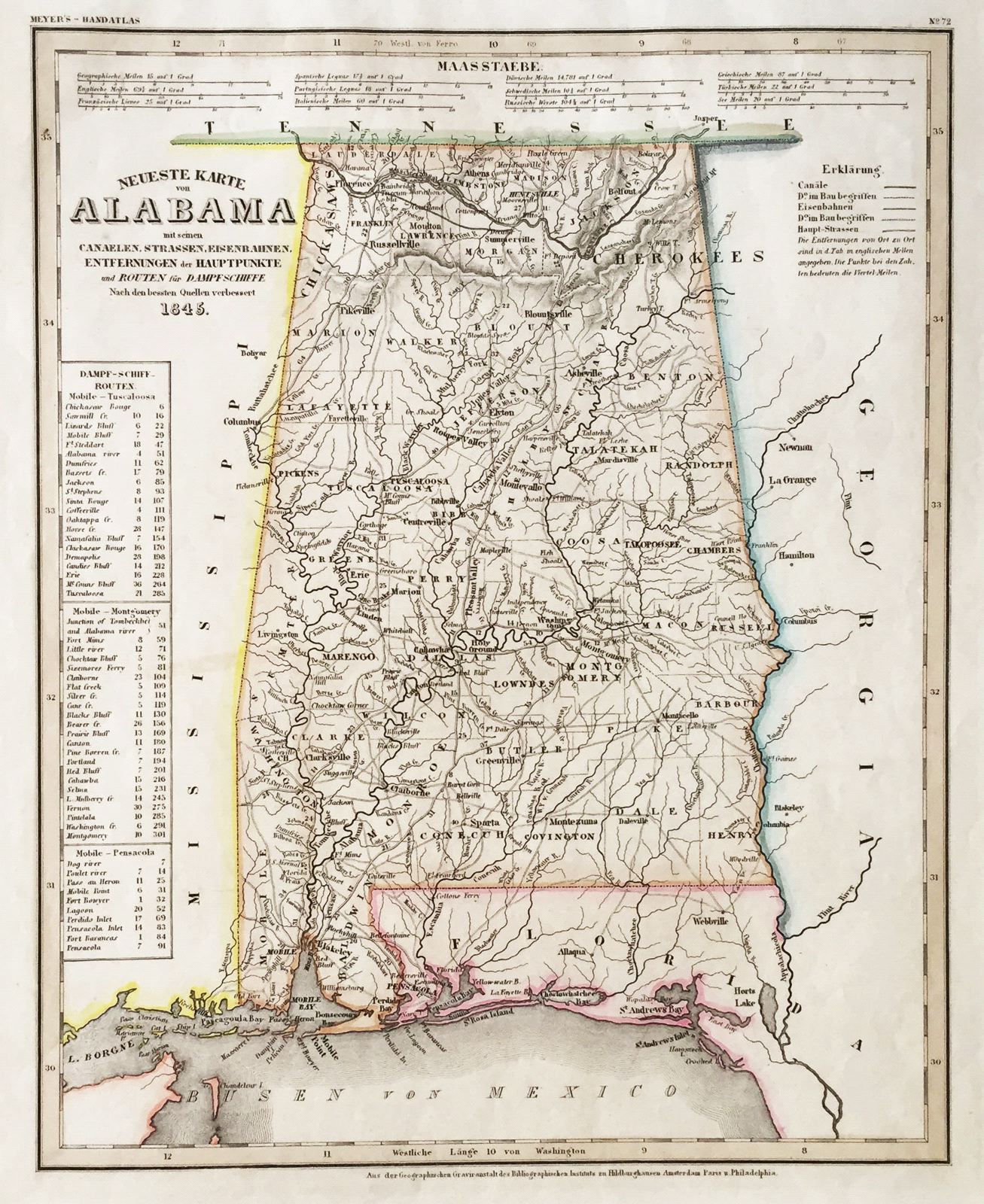
Neueste Karte von Alabama
This item has been sold.
Please check our homepage for currently available maps.
The beautifully detailed and colored map of Alabama "with its canals, streets, railroads, distances between main towns, and steamship routes," from the 1854 edition of Meyer's Hand-Atlas. Includes a key to canals, railroads, and main roads as well as steamship routes between Mobile and Tuscaloosa, Montgomery and Pensacola. Please check our homepage for currently available maps.
Item Number: ns1593
Cartographer: Bibliographischen Instituts.
Place & Date: Hildburghausen / 1845
Size: 11 3/4" x 14 5/8"
Condition: original outline color; minor spotting and a repaired tear in margin, otherwise in excellent condition
Price: SOLD