use +/- or mouse scrollwheel for magnification.
click here
for full-sized image.

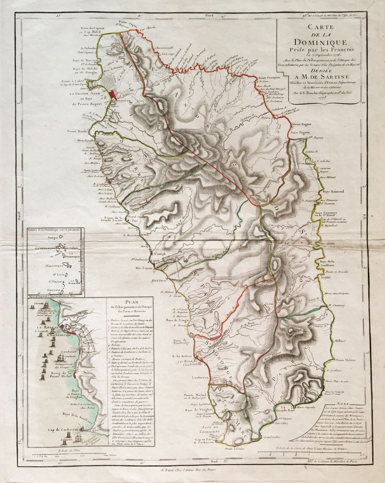
Carte de la Dominique Prise par les Francois le 7 Septembre 1778.
This item has been sold.
Please check our homepage for currently available maps.
Buache's superb, large-scale map of Dominica "taken by the French on September 7, 1778" with good topographical detail, many place names, an inset map and notes on the French plan of attack, and an inset chart of the Lesser Antilles from Antigua to Grenada. A beautifully preserved exemplar in outline color. Please check our homepage for currently available maps.
Item Number: gg1222
Cartographer: Buache
Place & Date: Paris / 1778
Size: 18 1/2" x 24"
Condition: some minor wrinkling and fraying along outer edge of right margin; some folding and a small worm hole near center fold
Price: SOLD