use +/- or mouse scrollwheel for magnification.
click here
for full-sized image.

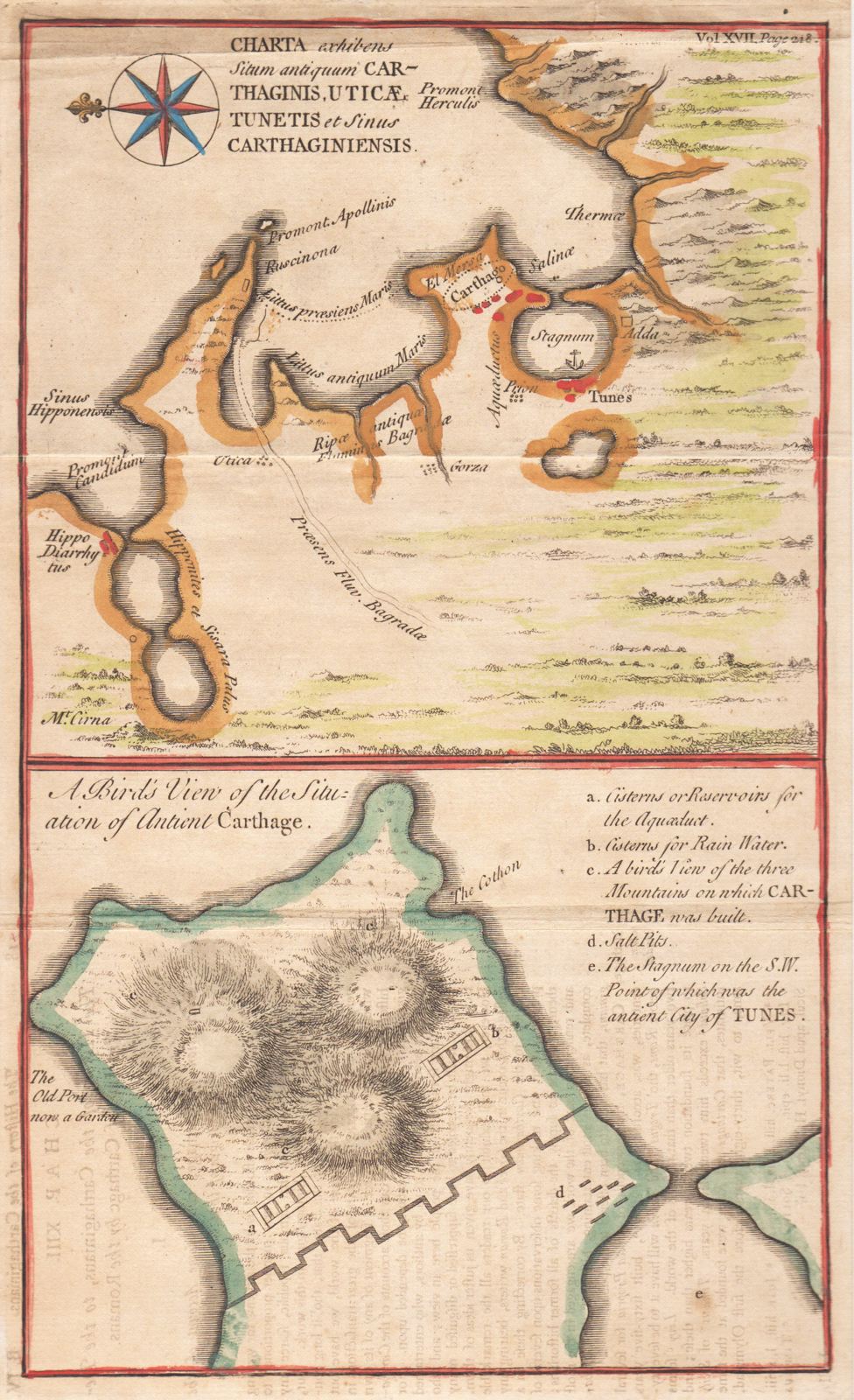
Charta exhibens Situm antiquum Carthaginis, Uticae, Tunetis et Sinus Carthaginiensis / A Bird's View of the Situation of Antient Carthage.
This item has been sold.
Please check our homepage for currently available maps.
Two fascinating maps on a single page from The Ancient History of the Egyptians, Carthaginians, Assyrians, Babylonians, Medes and Persians, Macedonians, and Grecians by Charles Rollin, published in London in 1768. The upper map encompasses the Bay of Tunis and its environs, including the sites of Utica, Gorza and ancient Carthage. On the lower half of the page is a bird's eye view of the site of ancient Carthage with a letter key to its cisterns and salt pits. Please check our homepage for currently available maps.
Item Number: g1745
Cartographer:
Place & Date: London / 1768
Size: 7" x 11 1/2"
Condition: outline color; overall age toning, a few marginal tears and spots, some overprinting on lower half of sheet
Price: SOLD