use +/- or mouse scrollwheel for magnification.
click here
for full-sized image.

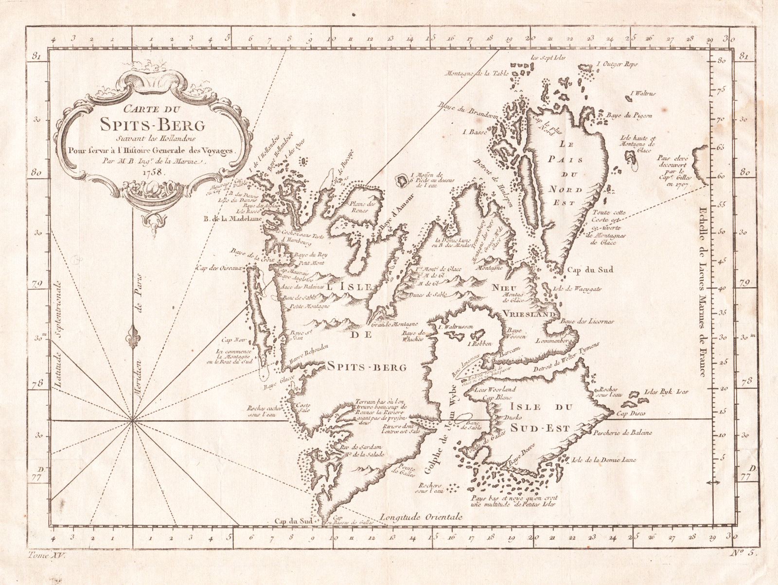
Carte du Spits-Berg
This item has been sold.
Please check our homepage for currently available maps.
Bellin's wonderfully detailed map of Spitsbergen Island and the adjacent islands of Norway's Svalbard Archipelago, from the atlas of Prevost d'Exiles' Histoire Generale des Voyages. A former whaling station washed by the Arctic Ocean and the Greenland and Barents Seas, Spitsbergen is Norway's largest island, located halfway between Scandinavia and the North Pole. Please check our homepage for currently available maps.
Item Number: RS2883
Cartographer: Bellin
Place & Date: Paris / 1758
Size: 12" x 8 1/2"
Condition: b&w, overall age toning and minor spotting; a light water stain in the right margin extending into the mileage scale
Price: SOLD