use +/- or mouse scrollwheel for magnification.
click here
for full-sized image.

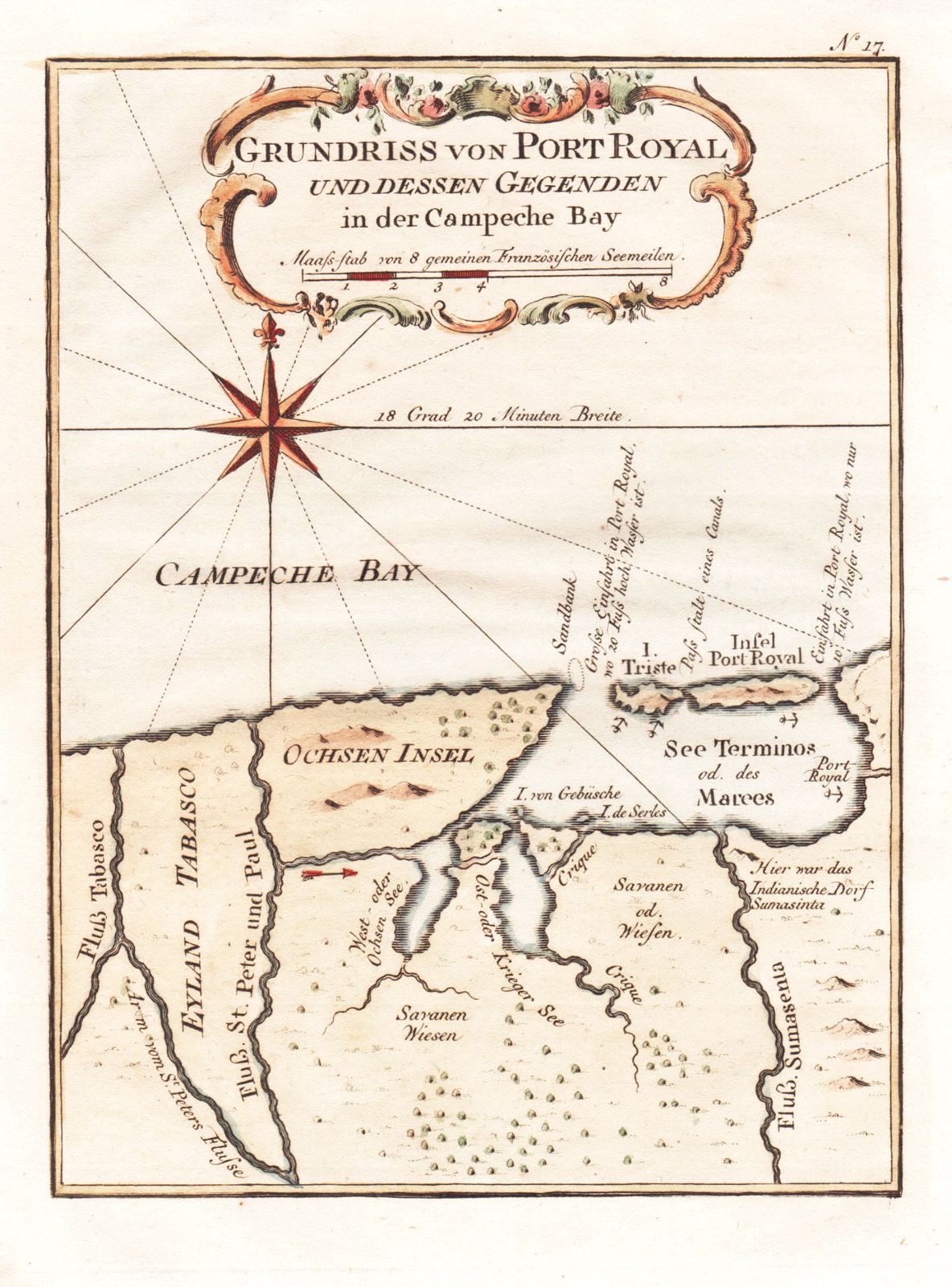
Grundriss von Port Royal und dessen Gegenden in der Campeche Bay
This item has been sold.
Please check our homepage for currently available maps.
A lovely exemplar of Bellin's chart of the island of Port Royal (today Isla del Carmen), the Laguna de Terminos and the surrounding coast of Campeche Bay, with many place names and topographical details, including the Tabasco and other rivers; from the German edition of Prevost d'Exile's Histoire Generale des Voyages. Please check our homepage for currently available maps.
Item Number: RS2814
Cartographer: Bellin / Arkstee&Merkus
Place & Date: Leipzig / 1760
Size: 5 7/8" x 7 7/8"
Condition: outline and wash color; light overall age toning
Price: SOLD