use +/- or mouse scrollwheel for magnification.
click here
for full-sized image.

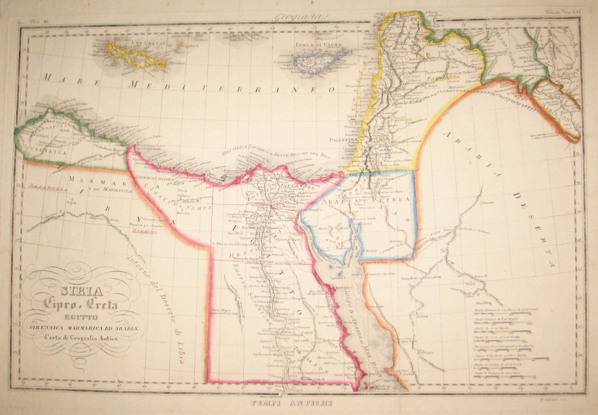
Siria Cipro, Creta Egitto Cirenaica Marmarica ed Arabia Carta di Geografica Antica
This item has been sold.
Please check our homepage for currently available maps.
A fascinating mid-19th century Italian atlas map of the ancient eastern Mediterranean, from Libya (Cyrenaica) to Syria, Mesopotamia, Babylon and "Arabia Deserta" with Cyprus and Crete. The Holy Land,labeled "Palestina ov. Giudea" and Egypt, especially the Nile Delta, are richly detailed with many place names. Please check our homepage for currently available maps.
Item Number: RS2673
Cartographer: G. Cabiahi
Place & Date: Italy / 1845
Size: 20" 1/2 x 14 1/8"
Condition: outline color; overall age toning and some spotting along outer edges of margins; a few repaired slits in folds
Price: SOLD