use +/- or mouse scrollwheel for magnification.
click here
for full-sized image.

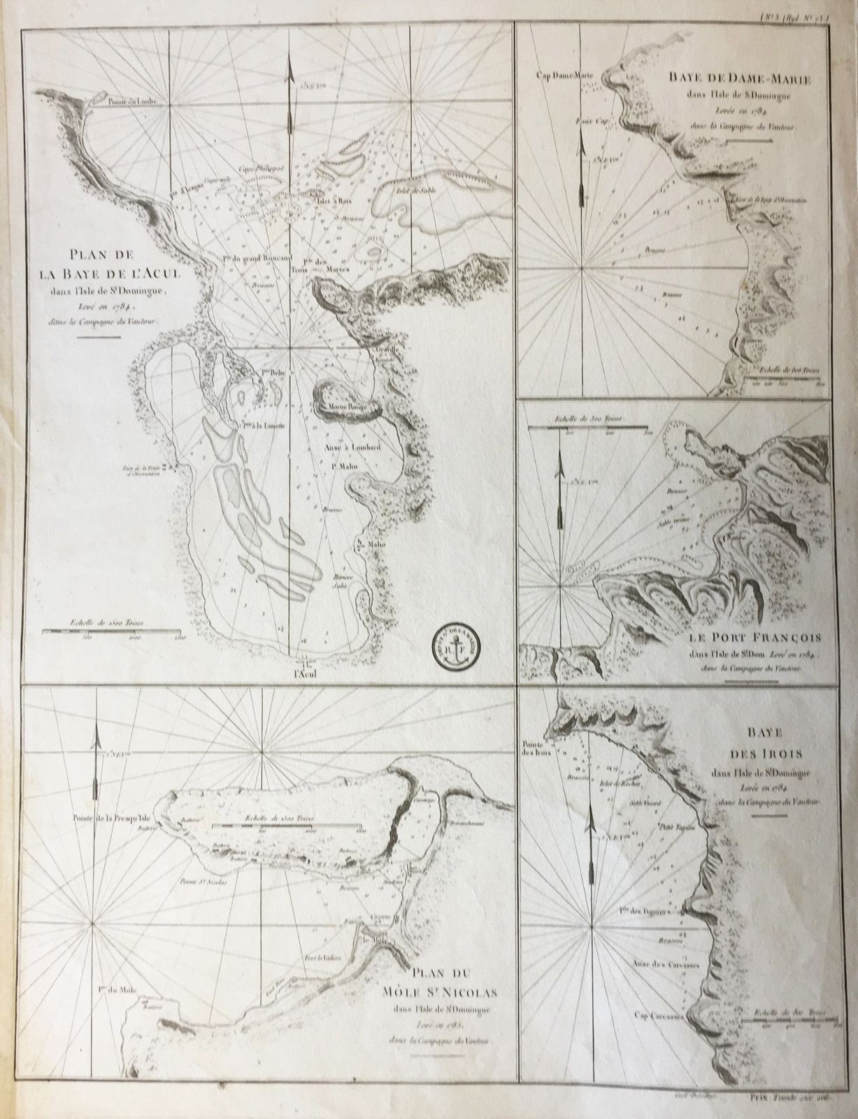
Plan de la Baye de l'Acul; Baye de Dame-Marie; Le Port François; Plan du Môle St. Nicolas; Baye des Irois
This item has been sold.
Please check our homepage for currently available maps.
Five sea-charts on a large sheet engraved by Dela Haye for the French Dépôt de la Marine, based on the French coastal survey of Hispaniola in 1784 and showing multiple depth soundings, anchorages and great navigational detail. A scarce and important St. Domgingue/Haiti item. Please check our homepage for currently available maps.
Item Number: RS2658
Cartographer: Dela Haye / Dépôt de la Marine
Place & Date: Paris / 1787
Size: 17 1/2" x 22 5/8"
Condition: b&w; overall age toning; fraying along margins; bottom left corner of margin torn.
Price: SOLD