use +/- or mouse scrollwheel for magnification.
click here
for full-sized image.

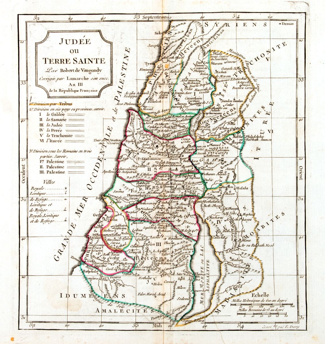
Judée ou Terre Sainte
This item has been sold.
Please check our homepage for currently available maps.
Vaugondy's fascinating 1760s Holy Land map, "corrected" by Larmarche in the Year III of the French Republic (1795). The map shows the Holy Land divided into tribal territories, with keys to ancient Hebrew and Roman provincial borders and an icon key identifying royal, priestly and sanctuary cities. Please check our homepage for currently available maps.
Item Number: RS2376
Cartographer: Robert de Vaugondy/Lamarche
Place & Date: Paris / 1795
Size: 8 1/2" x 9 5/8"
Condition: outline color; overall age toning, spotting and some staining.
Price: SOLD