use +/- or mouse scrollwheel for magnification.
click here
for full-sized image.

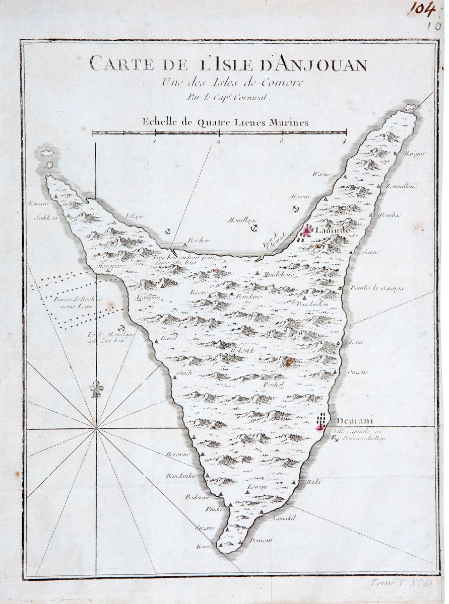
Carte de l'Isle d'Anjouan
Bellin's detailed map of the triangular-shaped Island of Anjouan, known today as Nzwani, one of the four main islands of the Comoros archipelago, located in the Indian Ocean between northeastern Mozambique and northwestern Madagascar. From the atlas of Prevost d'Exiles' influential collection of travel narratives, Histoire Generale des Voyages.
Item Number: RS2338
Cartographer: Bellin
Place & Date: Paris / 1757/1760
Size: 6 3/8" x 8 1/8"
Condition: b&w; overall age toning; some spotting; margins extended with contemporary paper to fit the size of the atlas volume; right margin trimmed close
Price: $115.00