use +/- or mouse scrollwheel for magnification.
click here
for full-sized image.

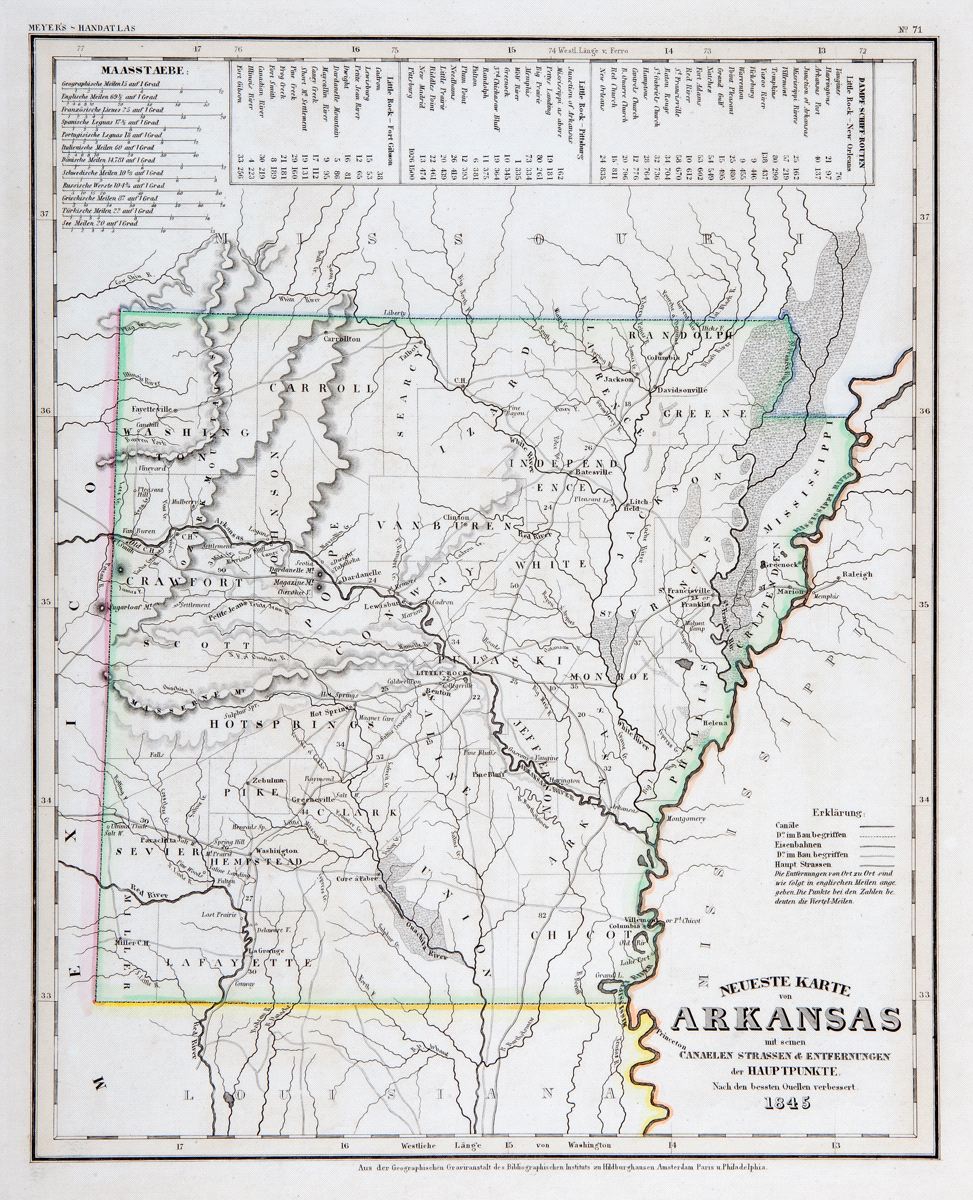
Neuste Karte von Arkansas
This item has been sold.
Please check our homepage for currently available maps.
The beautifully detailed and colored map of Arkansas "with its canals, streets, etc.," from Meyer's Hand-Atlas. Includes a key to steamship routes between Litttle Rock and New Orleans, Pittsburgh and Fort Gibson. Please check our homepage for currently available maps.
Item Number: RS2296
Cartographer: Bibliographischen Instituts.
Place & Date: Hildburghausen / 1845
Size: 11 3/4" x 14 5/8"
Condition: original wash color; light overall age toning
Price: SOLD