use +/- or mouse scrollwheel for magnification.
click here
for full-sized image.

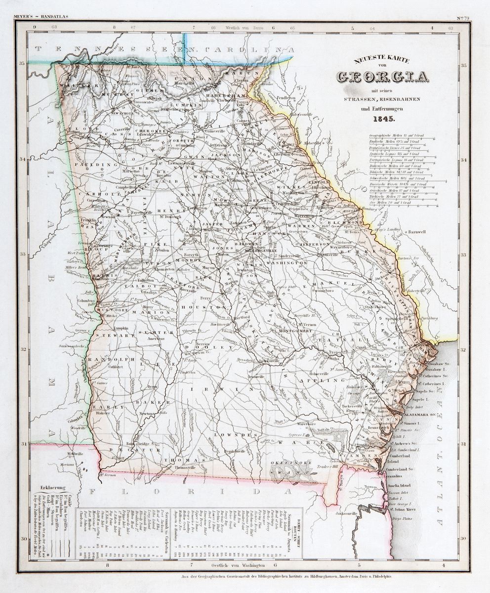
Neuste Karte von Georgia
This item has been sold.
Please check our homepage for currently available maps.
The beautifully detailed and colored map of Georgia "with its streets, railroads, etc.," from the 1856 edition of Meyer's Hand-Atlas. Includes a key to canals, railroads, main roads, and gold mines, as well as steamship routes between Savannah and Augusta and Savannah and Charleston. Please check our homepage for currently available maps.
Item Number: RS2294
Cartographer: Bibliographischen Instituts.
Place & Date: Hildburghausen / 1845
Size: 11 3/4" x 14 1/2"
Condition: wash color; light age toning; light smudge under title
Price: SOLD