use +/- or mouse scrollwheel for magnification.
click here
for full-sized image.

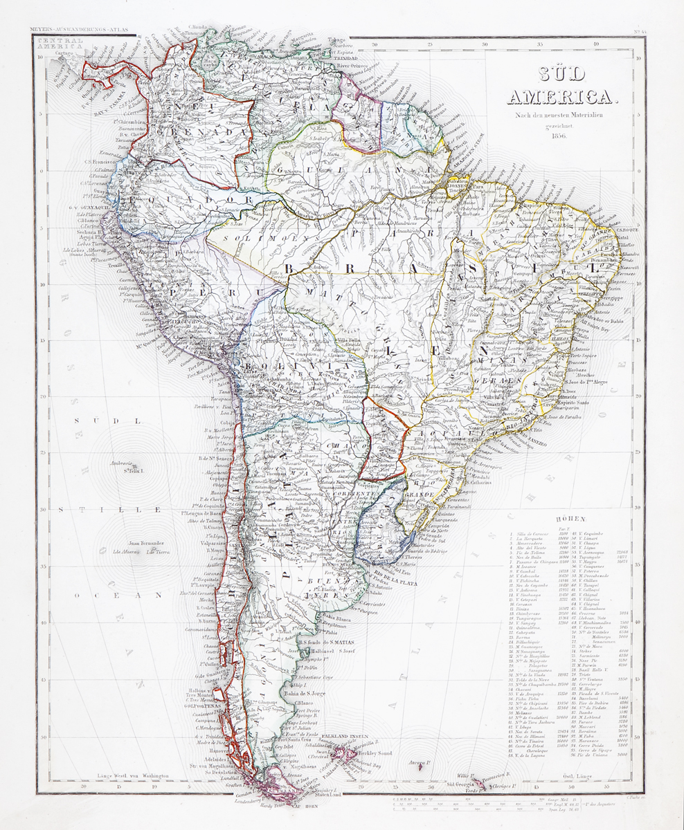
Sud America Nach den Neuesten Materialen 1856
This item has been sold.
Please check our homepage for currently available maps.
A highly detailed political map of South America with a host of place names and meticulously rendered topography, from Meyer's Auswanderungs-Atlas (Emigrant's Atlas) of North America. Includes a list of the continent's highest elevations. Please check our homepage for currently available maps.
Item Number: RS2203
Cartographer: Joseph Meyer / Bibliographischen Instituts
Place & Date: Hildburghausen / 1849/1857
Size: 11 3/4" x 15"
Condition: original outline color; light overall age toning
Price: SOLD