use +/- or mouse scrollwheel for magnification.
click here
for full-sized image.

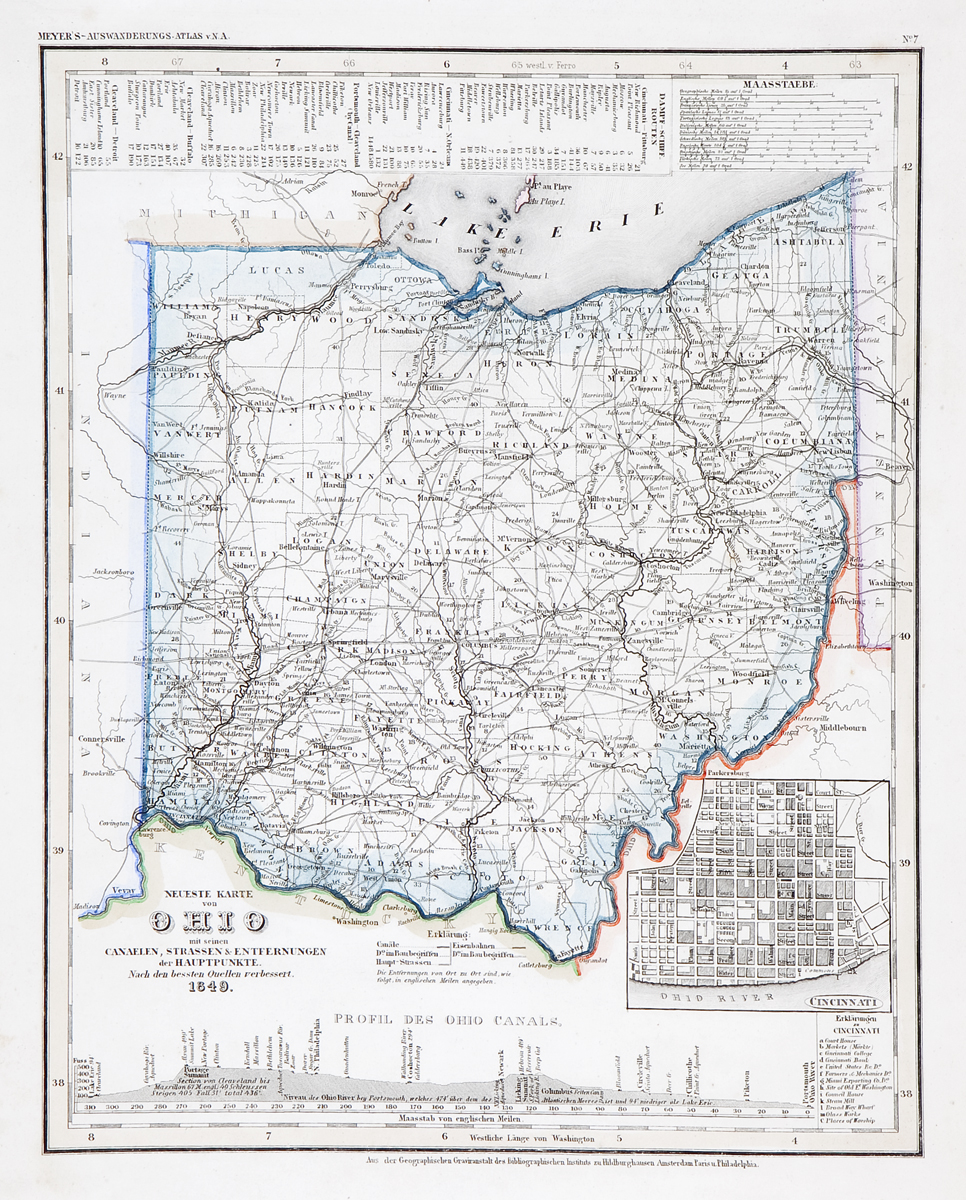
Neueste Karte von Ohio 1849
This item has been sold.
Please check our homepage for currently available maps.
The beautifully detailed and colored map of Ohio "with its canals, streets, and distances between main towns" from Meyer's Auswanderungs-Atlas (Emigrant's Atlas) of North America. Includes an inset plan of Cincinnati, a profile of Ohio canals, and lists of steamship routes and distances between Cincinnati and Pittsburgh, Cincinatti and New Orleans, etc. Please check our homepage for currently available maps.
Item Number: RS2180
Cartographer: Bibliographischen Instituts.
Place & Date: Hildburghausen / 1849/1857
Size: 11 7/8" x 14 5/8"
Condition: original outline color; light overall age toning, minor spotting in lower left margin
Price: SOLD