use +/- or mouse scrollwheel for magnification.
click here
for full-sized image.

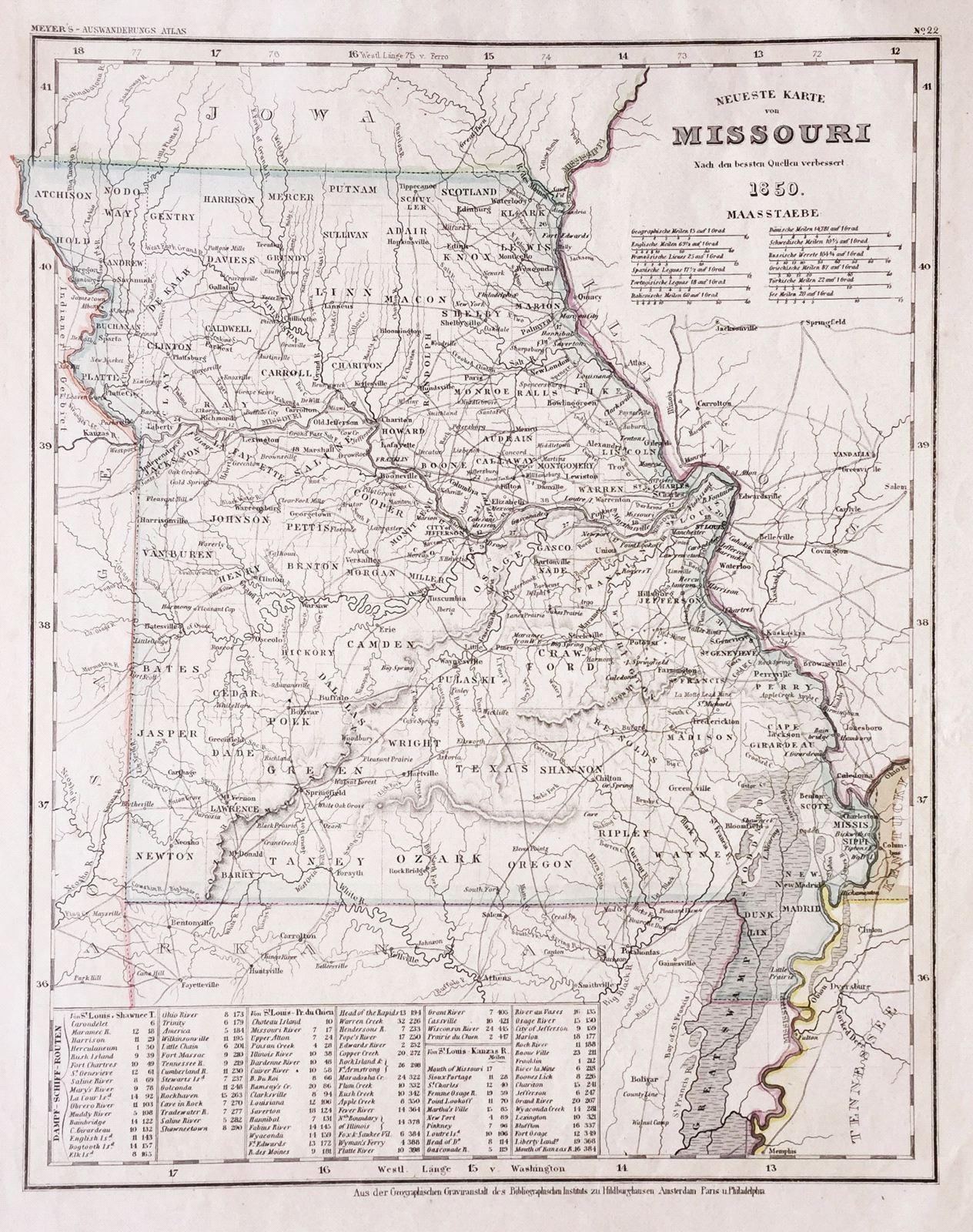
Neueste Karte von Missouri
This item has been sold.
Please check our homepage for currently available maps.
The beautifully detailed and colored map of Missouri, from Meyer's Auswanderungs-Atlas (Emigrant's Atlas) of North America. . Includes steamship routes between St. Louis and Shawnee Town, Prairie du Chien, and Kanzas (sic) River. Please check our homepage for currently available maps.
Item Number: RS2171
Cartographer: Bibliographischen Instituts.
Place & Date: Hildburghausen / 1849/1850
Size: 11 3/4" x 14 5/8"
Condition: original color; overall age toning, some spotting in margins
Price: SOLD