use +/- or mouse scrollwheel for magnification.
click here
for full-sized image.

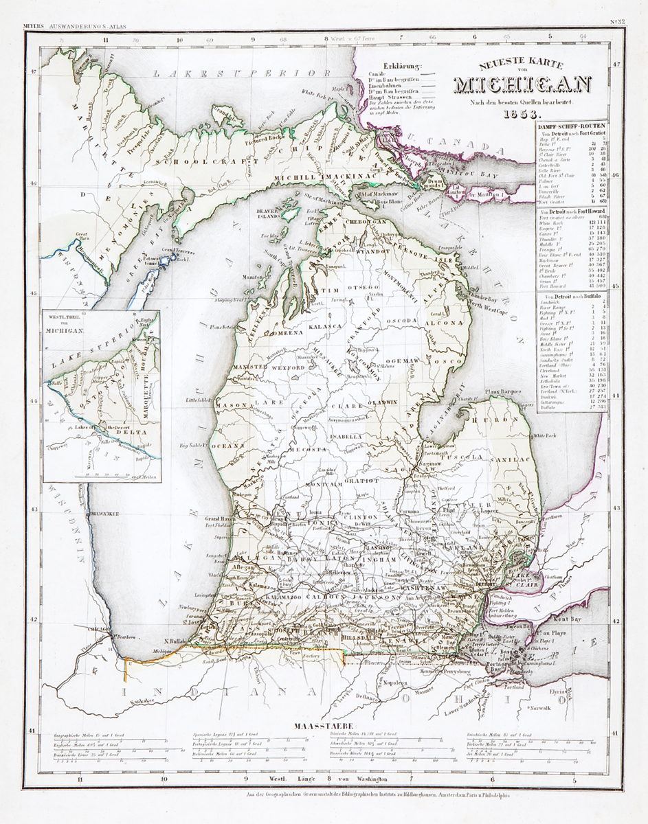
Neueste Karte von Michigan
This item has been sold.
Please check our homepage for currently available maps.
The beautifully detailed and colored map of Michigan from Meyer's Auswanderungs-Atlas (Emigrant's Atlas) of North America. Includes a key to canals, railroads and roads, and lists of steamship routes between Detroit and Fort Grattiot, Fort Howard, and Buffalo. Please check our homepage for currently available maps.
Item Number: RS2169
Cartographer: Bibliographischen Instituts.
Place & Date: Hildburghausen / 1849/1857
Size: 11 3/4" x 14 3/4"
Condition: original color; water stain on lower part of map; tear in the wide bottom margin
Price: SOLD