use +/- or mouse scrollwheel for magnification.
click here
for full-sized image.

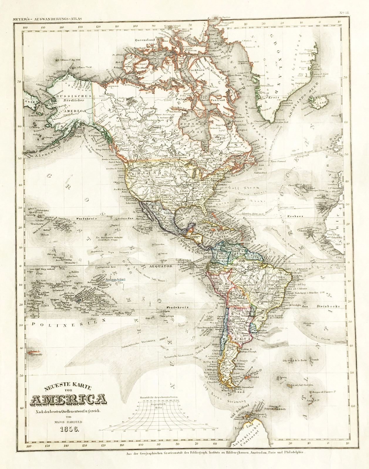
Neueste Karte von America
This item has been sold.
Please check our homepage for currently available maps.
The beautifully detailed and preserved map of the Western Hemisphere and the eastern Polynesian islands from the the 1849/1857 edition of the Meyer's Auswanderungs-Atlas (Emigrant's Atlas) of North America. Please check our homepage for currently available maps.
Item Number: RS2160
Cartographer: Bibliographischen Instituts. / Radefeld
Place & Date: Hildburghausen / 1849/1857
Size: 11 3/4" x 15"
Condition: original outline color; light overall age toning
Price: SOLD