use +/- or mouse scrollwheel for magnification.
click here
for full-sized image.

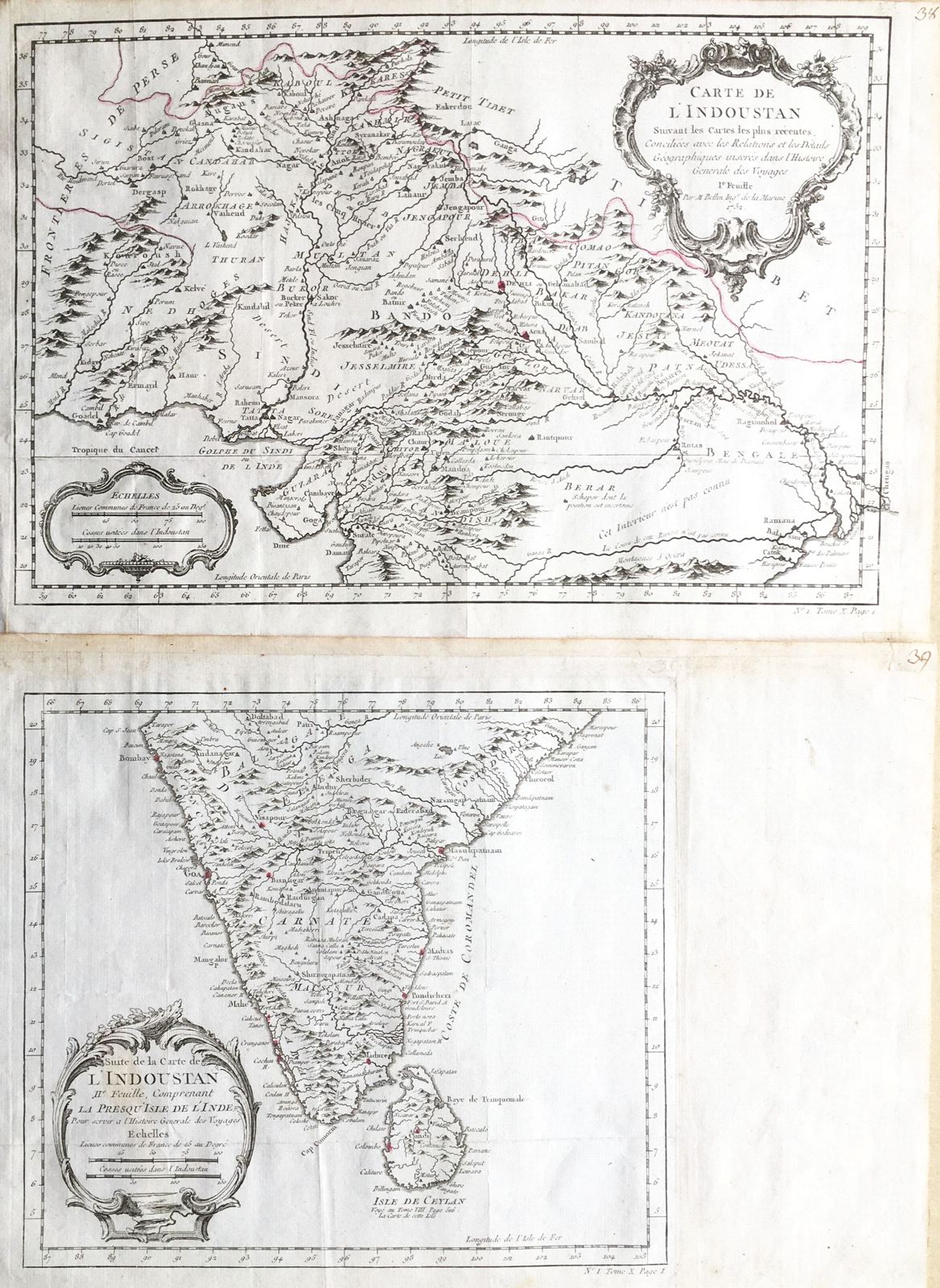
Carte de l'Indoustan [and] Suite de la Carte de l'Indoustan . . . comprenant la Presqu'ile de l'Inde
This item has been sold.
Please check our homepage for currently available maps.
The two "Indoustan" maps from Prevost d'Exiles' influential collection of travel narratives, Histoire Generale des Voyages, which together depict the entire Indian subcontinent. The first sheet encompasses present-day Afghanistan, Pakistan and northern India. The second map is of southern India and Sri Lanka. Please check our homepage for currently available maps.
Item Number: RS1982
Cartographer: Bellin
Place & Date: Paris / 1752/1760
Size: 13 1/4" x 8 3/4" (sheet 1); 9 5/8" x 8 5/8" (sheet 2)
Condition: b&w; light overall age toning; margins extended with contemporary paper to fit the size of the atlas volume
Price: SOLD