use +/- or mouse scrollwheel for magnification.
click here
for full-sized image.

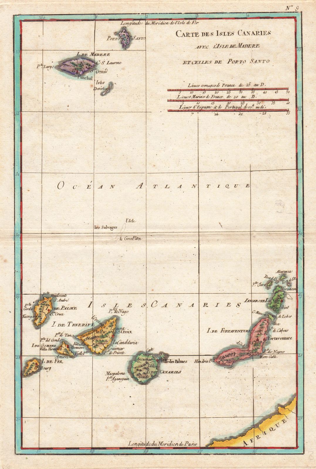
Carte des Isles Canaries
This item has been sold.
Please check our homepage for currently available maps.
The detailed Canary Islands map, with Madeira and Porto Santo to the north, from Bonne's Atlas de Toutes les Parties Connues du Monde. Please check our homepage for currently available maps.
Item Number: RS1520
Cartographer: Bonne
Place & Date: Paris / 1780s
Size: 8 1/8" x 12 1/2"
Condition: wash color; overall age-toning; some spotting
Price: SOLD