use +/- or mouse scrollwheel for magnification.
click here
for full-sized image.

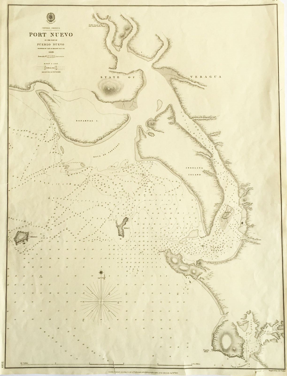
Port Nuevo in the Bay of Pueblo Nuevo
This item has been sold.
Please check our homepage for currently available maps.
A highly detailed British Admiralty harbor chart of Port Nuevo in the province of Veraguas in Panama, with multiple depth soundings and meticulous coastal topography. Please check our homepage for currently available maps.
Item Number: K1456
Cartographer: The Admiralty / British Hydrographic Office
Place & Date: London / 1849/1852
Size: 18 1/2" x 24 1/4"
Condition: b&w; overall age toning, repaired nicks and tears along outer edges of chart, some creasing in the margins
Price: SOLD