use +/- or mouse scrollwheel for magnification.
click here
for full-sized image.

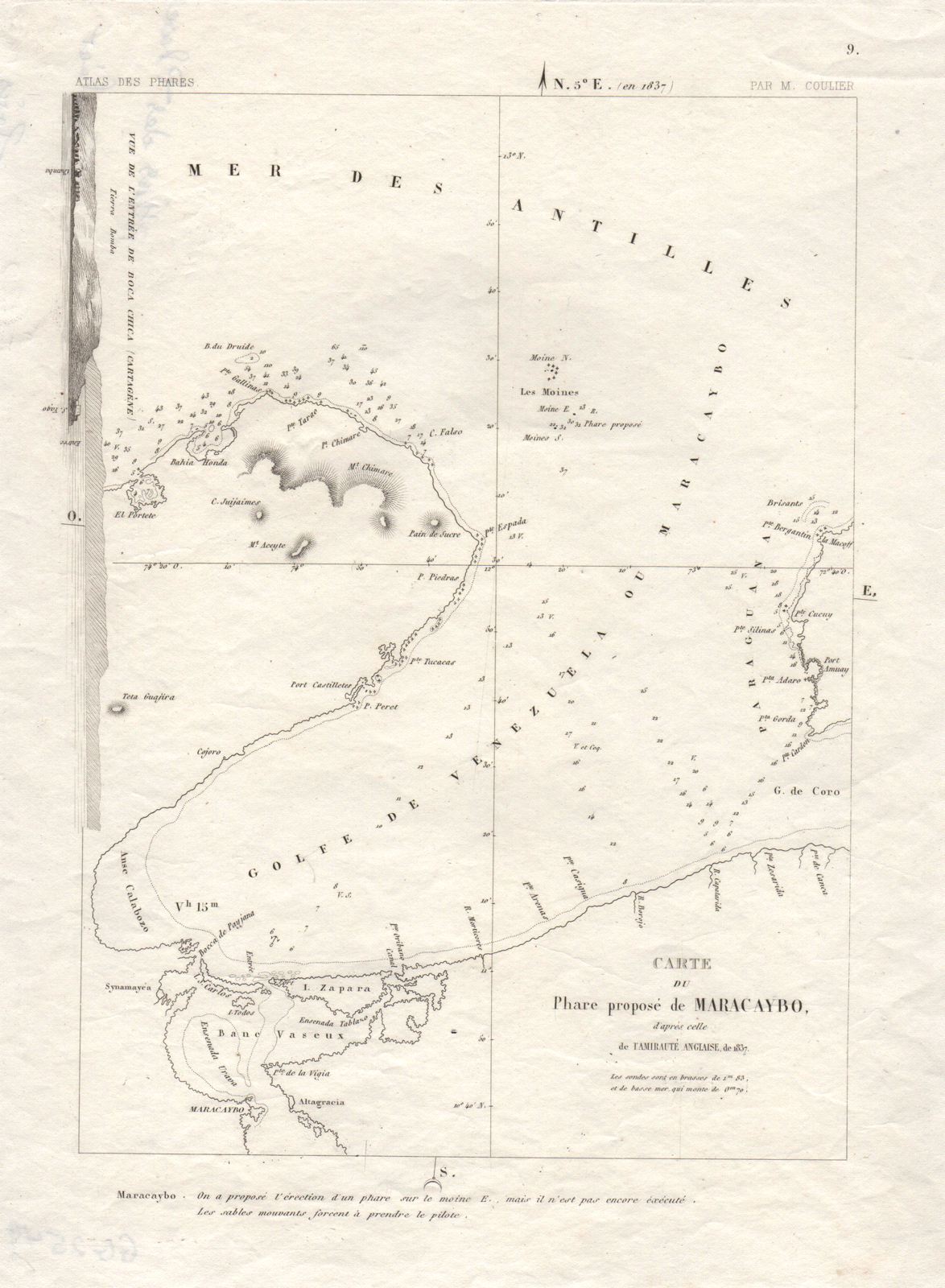
Carte du Phare propose de Maracaybo
This item has been sold.
Please check our homepage for currently available maps.
A superbly detailed chart of the Gulf of Venezuela and part of Lake Maracaibo, identifying the location of the "Proposed Maracaibo Lighthouse," from Philippe Coulier's atlas of lighthouses, Atlas General des Phares et Fanaux a l'usage des navigateurs," published in Paris in 1844. The coastal profile along the upper left side of the map shows the Boca Chica entrance to Cartagena (Colombia) harbor. A scarce and fascinating South America map. Please check our homepage for currently available maps.
Item Number: GG2549
Cartographer: Coulier
Place & Date: Paris / 18371844
Size: 7 1/2" x 11"
Condition: b&w; slight nicks along outer edge of side margin
Price: SOLD