use +/- or mouse scrollwheel for magnification.
click here
for full-sized image.

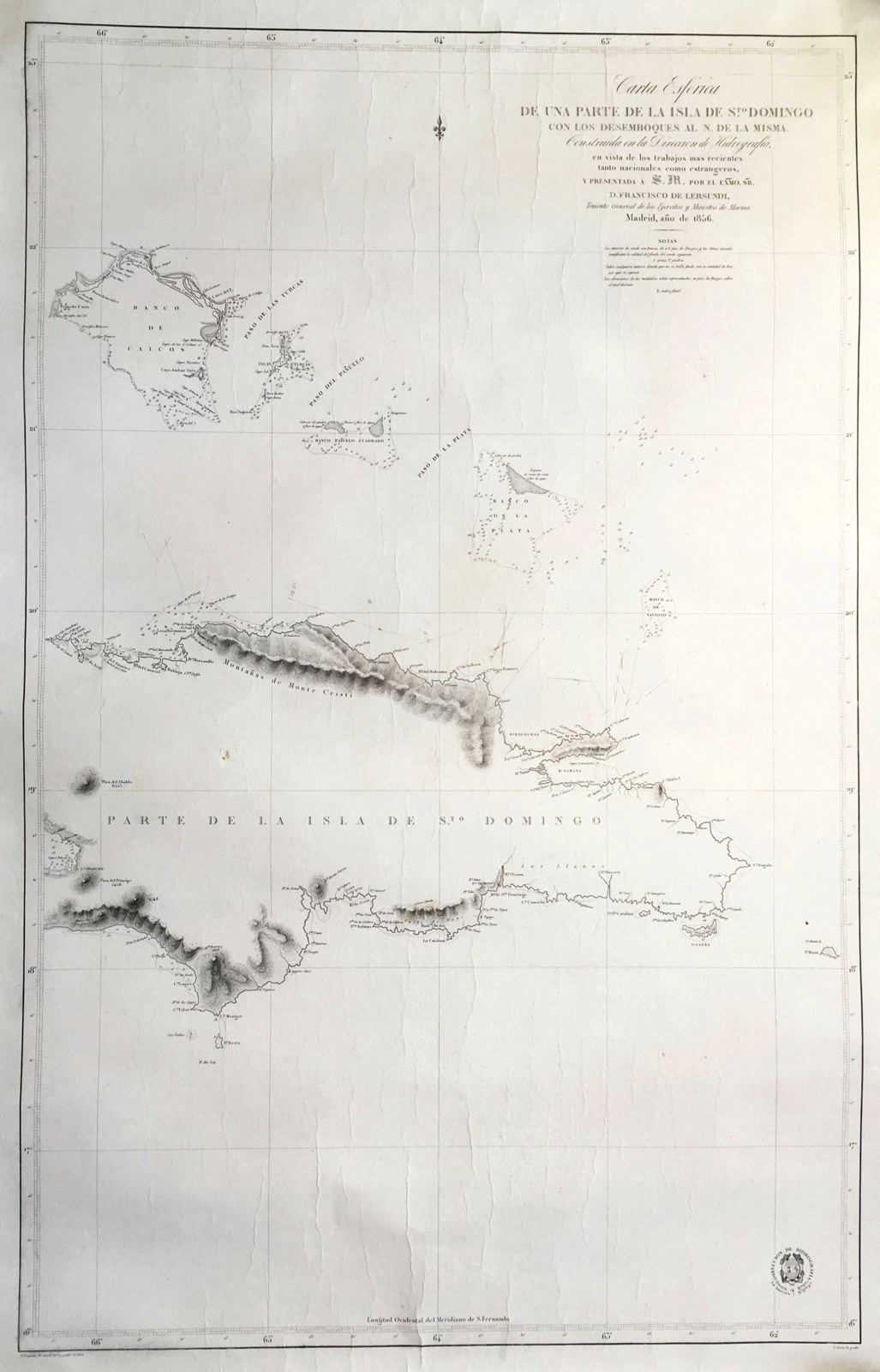
Carta Esferica de Una Parte de la Isla de Sto. Domingo con los desemboques al N. de la misma
This item has been sold.
Please check our homepage for currently available maps.
The magnificent Spanish Hydrographic Office chart of the western part of the island of Hispaniola (covering all of the present-day Dominican Republic and part of Haiti) and the Turks and Caicos Islands north of Hispaniola, "presented to His Majesty by D. Francisco de Lersundi. Details include reefs, sandbanks, lighthouses, and depth soundings. Please check our homepage for currently available maps.
Item Number: GG2349
Cartographer: Direccion de Hidrografia / F. Bregante and P. Serra
Place & Date: Madrid / 1856
Size: 25" x 38"
Condition: b&w; some wrinkling; some fraying and tearing on edges of side margins, mostly on the left
Price: SOLD