use +/- or mouse scrollwheel for magnification.
click here
for full-sized image.

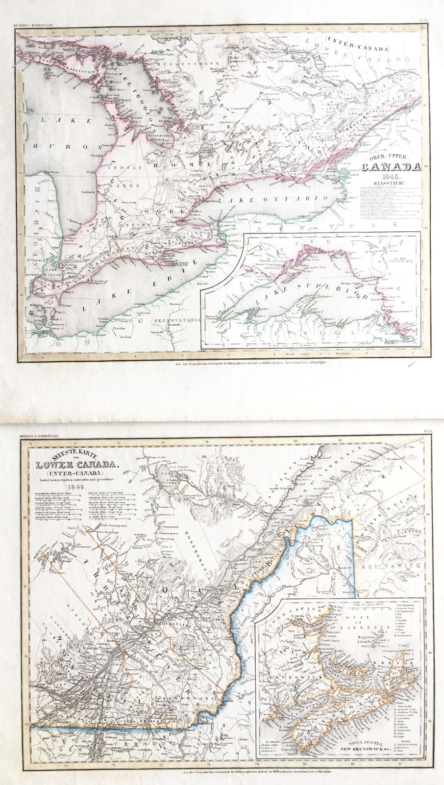
Ober (Upper) Canada 1849 / Unter (Lower) Canada 1849
This item has been sold.
Please check our homepage for currently available maps.
The beautifully detailed and colored maps of Upper Canada (Ontario) and Lower Canada (Quebec) from Meyer's Auswanderungs-Atlas (Emigrant's Atlas) of North America. The Upper Canada map features an inset of Lake Superior; the Lower Canada map includes an inset of "Nova Scotia, New Brunswick, etc." with a numbered key to major sites. Please check our homepage for currently available maps.
Item Number: G654a
Cartographer: Bibliographischen Instituts.
Place & Date: Hildburghausen / 1849/1857
Size: 14 5/8" x 11 3/4"
Condition: original color; overall age toning, minor browning along margin edges
Price: SOLD