use +/- or mouse scrollwheel for magnification.
click here
for full-sized image.

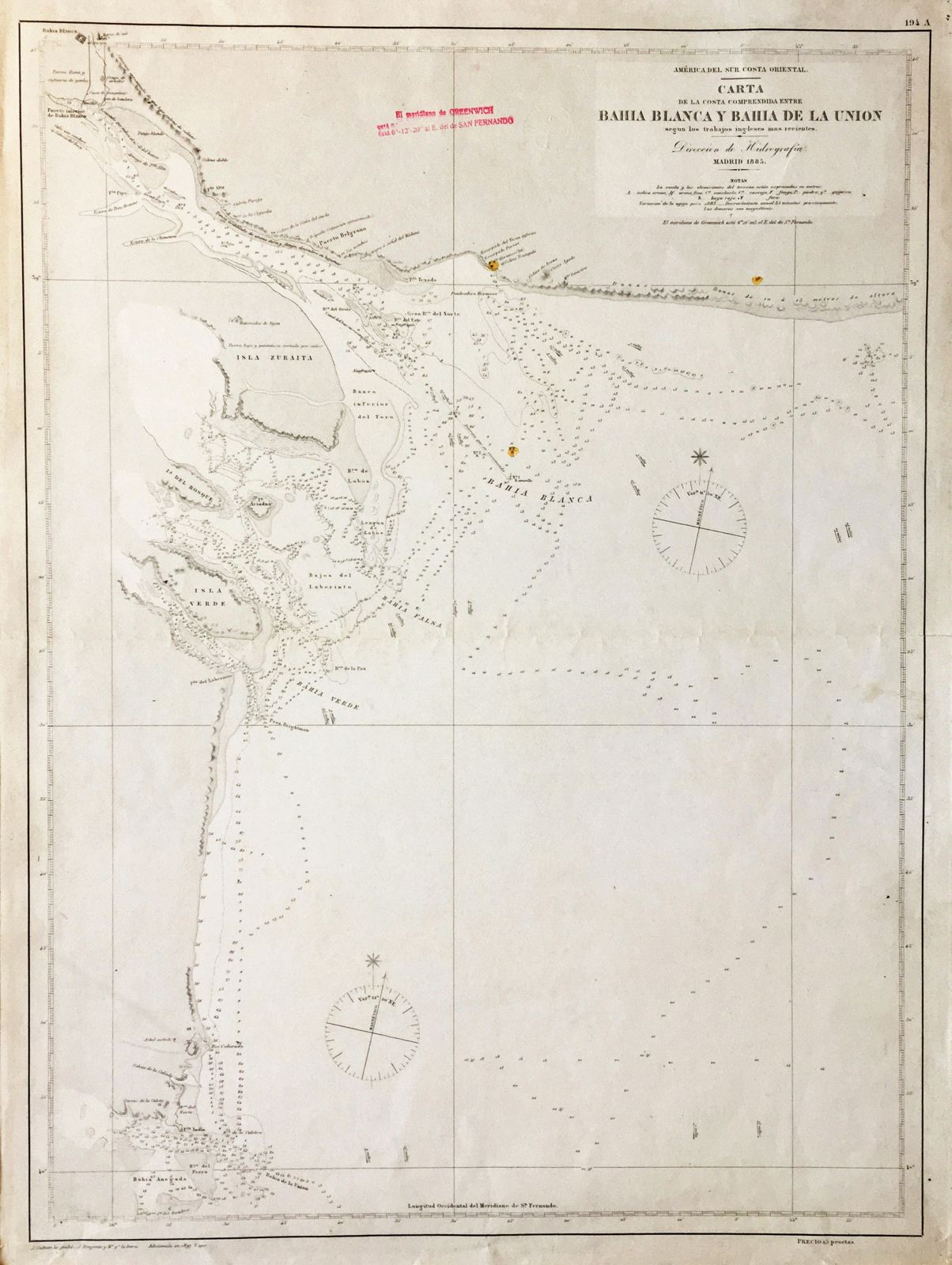
Carta de la Costa Comprendida entre Bahia Blanca Y Bahia de la Union
This item has been sold.
Please check our homepage for currently available maps.
A highly detailed Spanish Hydrographic Office chart of the stretch of Argentine coastline between Bahia Blanca and Bahia de la Union in the southern part of Buenos Aires Province. With many depth soundings and detailed coastal topography. Please check our homepage for currently available maps.
Item Number: G313
Cartographer: Direccion de Hidrografia
Place & Date: Madrid / 1885/1907
Size: 18 3/4" x 25"
Condition: b&w; overall age toning, nicks and fraying along outer edges of margins; repaired split at outer edge of centerfold
Price: SOLD