use +/- or mouse scrollwheel for magnification.
click here
for full-sized image.

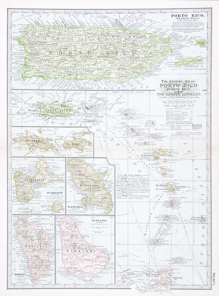
Porto Rico and the Lesser Antilles
This item has been sold.
Please check our homepage for currently available maps.
A wonderfully detailed, post Spanish-American War map of Puerto Rico and its adjacent islands on a sheet with a map of Puerto Rico and the Lesser Antilles down to Trinidad, and five smaller inset maps: St. Thomas and St. John, Guadeloupe, Martinique, Dominica, and Barbados. Please check our homepage for currently available maps.
Item Number: G2120
Cartographer: The Century Co.
Place & Date: New York / 1898/1913
Size: 10 1/2" x 15 1/4"
Condition: full color; light overall age toning, repaired split in center fold margin and in lower margin
Price: SOLD