use +/- or mouse scrollwheel for magnification.
click here
for full-sized image.

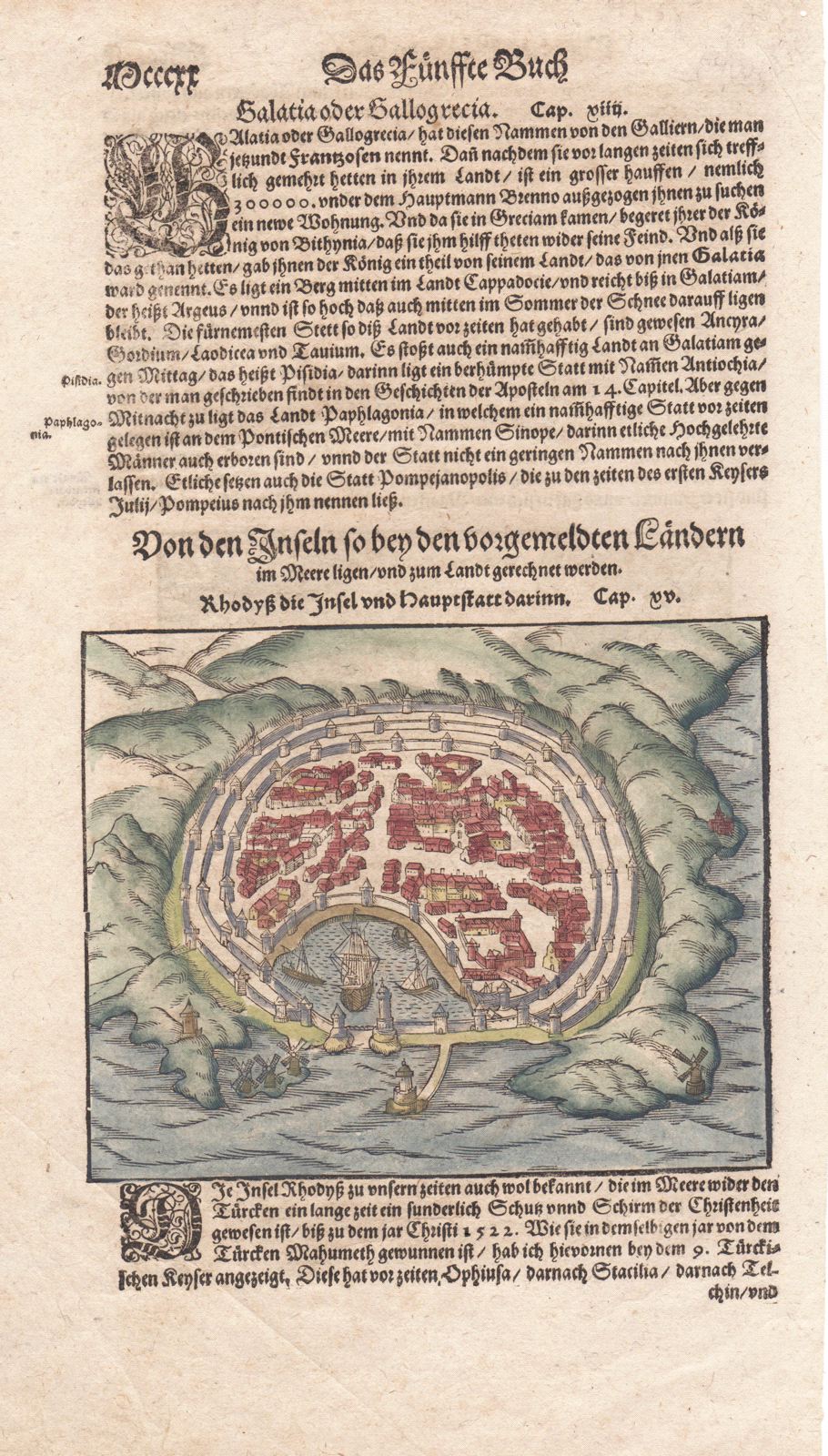
Rhodyss die Insel und Hauptstatt darinn.
This item has been sold.
Please check our homepage for currently available maps.
A very early woodcut plan of the town of Rhodes, from the German edition of one of the most influential and widely read atlases of the time, Münster's Cosmographia Universalis. The plan shows the city ringed by triple walls with three windmills outside the harbor and sailing vessels safely within. On the verso is a curious print of Amazons routing a more conventional army. Please check our homepage for currently available maps.
Item Number: 432
Cartographer: Sebastian Munster
Place & Date: Basle / 1590
Size: 6" x 5" (map), 8 1/4" x 13 1/4" (overall sheet, including map and text).
Condition: wash color; overall age toning
Price: SOLD