
use +/- or mouse scrollwheel for magnification. click here for full-sized image.
untitled Atlantic chart
This item has been sold. Please check our homepage for currently available maps.
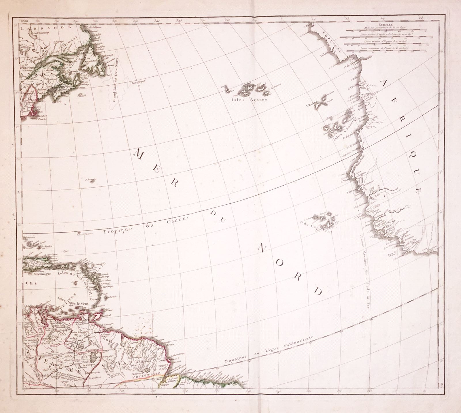
Delahaye's dramatic chart of the Atlantic Ocean, focusing on the Azores, Madiera, Canaries, and Cape Verde islands in the east and the Lesser Antilles in the west. The map encompasses parts of the coasts of Portugal and West Africa and parts of Canada, and New England, Hispaniola, Puerto Rico, all of the Lesser Antilles, and part of northern South America. Item Number: w1319
Cartographer: Delahaye
Place & Date: Paris / 1750
Size: 22 1/4" x 19 5/8"
Condition: outline color in the Western Hemisphere, the rest in b&w; margins frayed; overall age toning and spotting, most heavily in left margin but also affecting map.
Price: SOLD