
use +/- or mouse scrollwheel for magnification. click here for full-sized image.
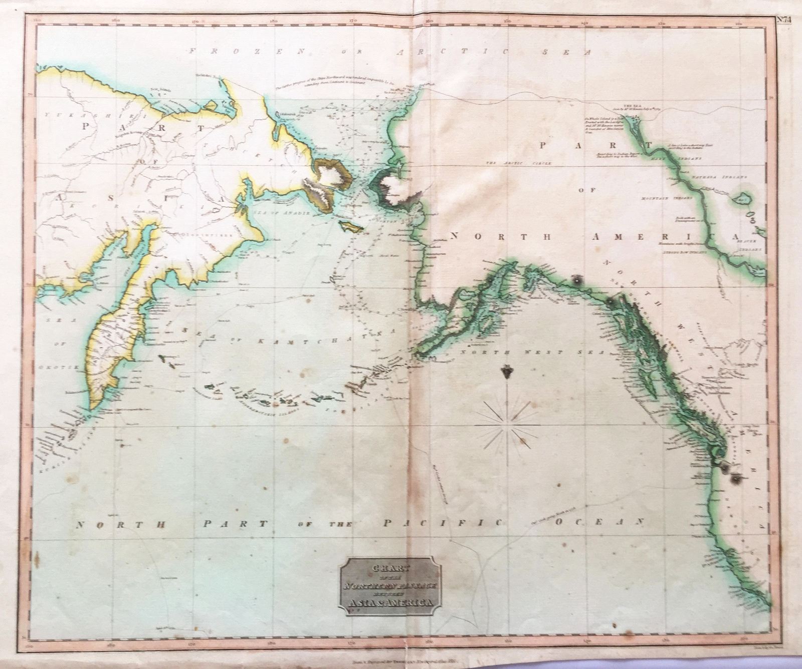
Chart of the Northern Passage between Asia & America
This item has been sold. Please check our homepage for currently available maps.
This fascinating map from Thomson's New General Atlas focuses on the Bering Strait between Russia and Alaska, whose northern coast is tentatively rendered. Includes the route of Captain Cook's explorations in the region. Item Number: sw1617
Cartographer: Thomson
Place & Date: Edinburgh / 1816/1817
Size: 23 1/4" x 19 1/2"
Condition: overall age toning; browning and creases along centerfold; some spotting and staining; lower margin trimmed
Price: SOLD