
use +/- or mouse scrollwheel for magnification. click here for full-sized image.
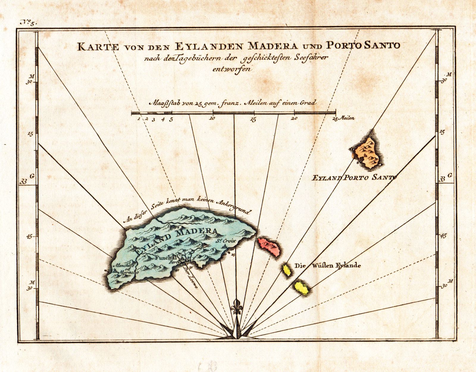
Karte von den Eylanden Madera und Porto Santo
This item has been sold. Please check our homepage for currently available maps.
An elegantly designed and detailed map of Madeira and Porto Santo Islands "based on the Seafarer's Journal"; from the German edition of Prevost d'Exiles' collection of travel narratives, Histoire Generale des Voyages. Item Number: rs1797
Cartographer: Bellin
Place & Date: Leipzig / 1748
Size: 8 5/8" x 6 1/8"
Condition: old color; overall age toning and some staining and spotting, mostly in the upper margin
Price: SOLD