
use +/- or mouse scrollwheel for magnification. click here for full-sized image.
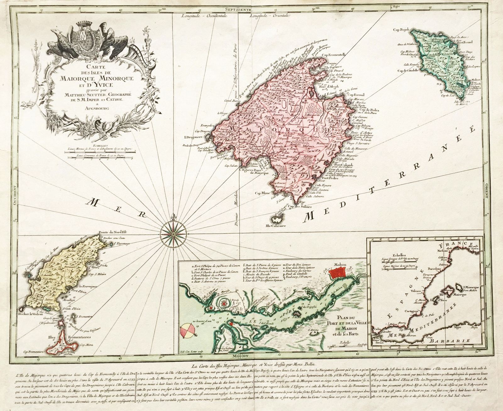
Carte des Isles de Maiorque, Minorque et d'Yvice
This item has been sold. Please check our homepage for currently available maps.
Seutter's magnificent map of the Balearic Islands, based on Bellin, is rich in topographical details and place names and includes an inset plan of the town and fort of Mahon, an inset map of the western Mediterranean showing the islands' location, and descriptive text and cartographic notes in French at the bottom of the map. The whole is topped by a striking title cartouche featuring a coat of arms and two eagles. A beautifully colored and preserved exemplar of a superb map. Item Number: rs1653
Cartographer: Seutter
Place & Date: Augsburg / 1740
Size: 22" x 18 1/4"
Condition: old color (cartouche in b&w); minor smudging and age toning; a tear in the upper right margin, repaired.
Price: SOLD