
use +/- or mouse scrollwheel for magnification. click here for full-sized image.
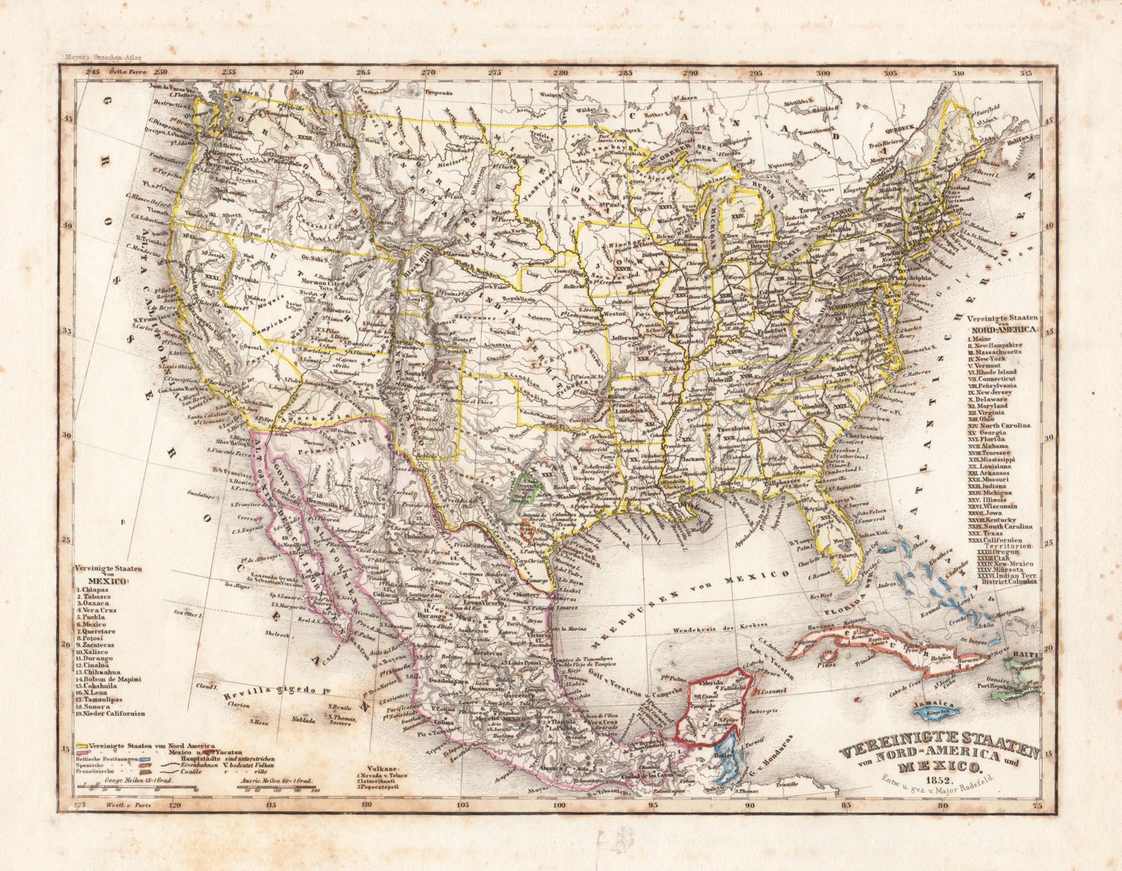
Vereinigte Staaten von Nord-America und Mexico.
This item has been sold. Please check our homepage for currently available maps.
A highly detailed map of the United States and Mexico from Meyer's Groschen-Atlas, showing the pre-Gadsen Purchase border between the U.S. and Mexico and the territories of the German and French colonies in central Texas. Includes number keys to the states of the United States and of Mexico. Item Number: rs1399
Cartographer: Bibliographischen Instituts.
Place & Date: Hildburghausen / 1852
Size: 10" x 7 3/4"
Condition: original color; overall age toning, spotting mostly confined to margins
Price: SOLD