
use +/- or mouse scrollwheel for magnification. click here for full-sized image.
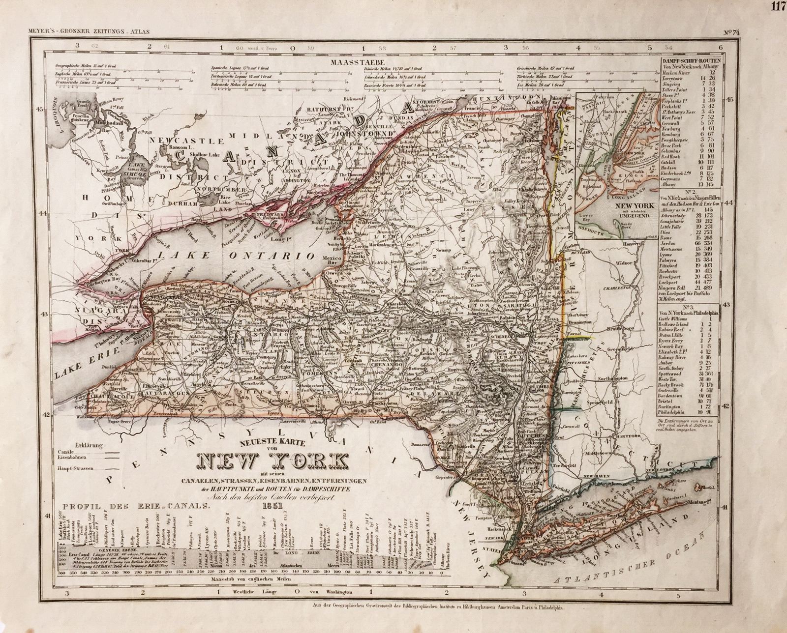
Neueste Karte von New York
This item has been sold. Please check our homepage for currently available maps.
The beautifully detailed and colored map of New York "with its canals, streets, railroads," etc., from Meyer's Grosser Zeitungs-Atlas. Includes a profile of the Erie Canal, steamship distance charts, and an inset of the New York City area. Item Number: rs1395
Cartographer: Bibliographischen Instituts.
Place & Date: Hildburghausen / 1851
Size: 14 1/2" X 11 3/4"
Condition: original color; overall age toning, some spots mostly in margins
Price: SOLD