
use +/- or mouse scrollwheel for magnification. click here for full-sized image.
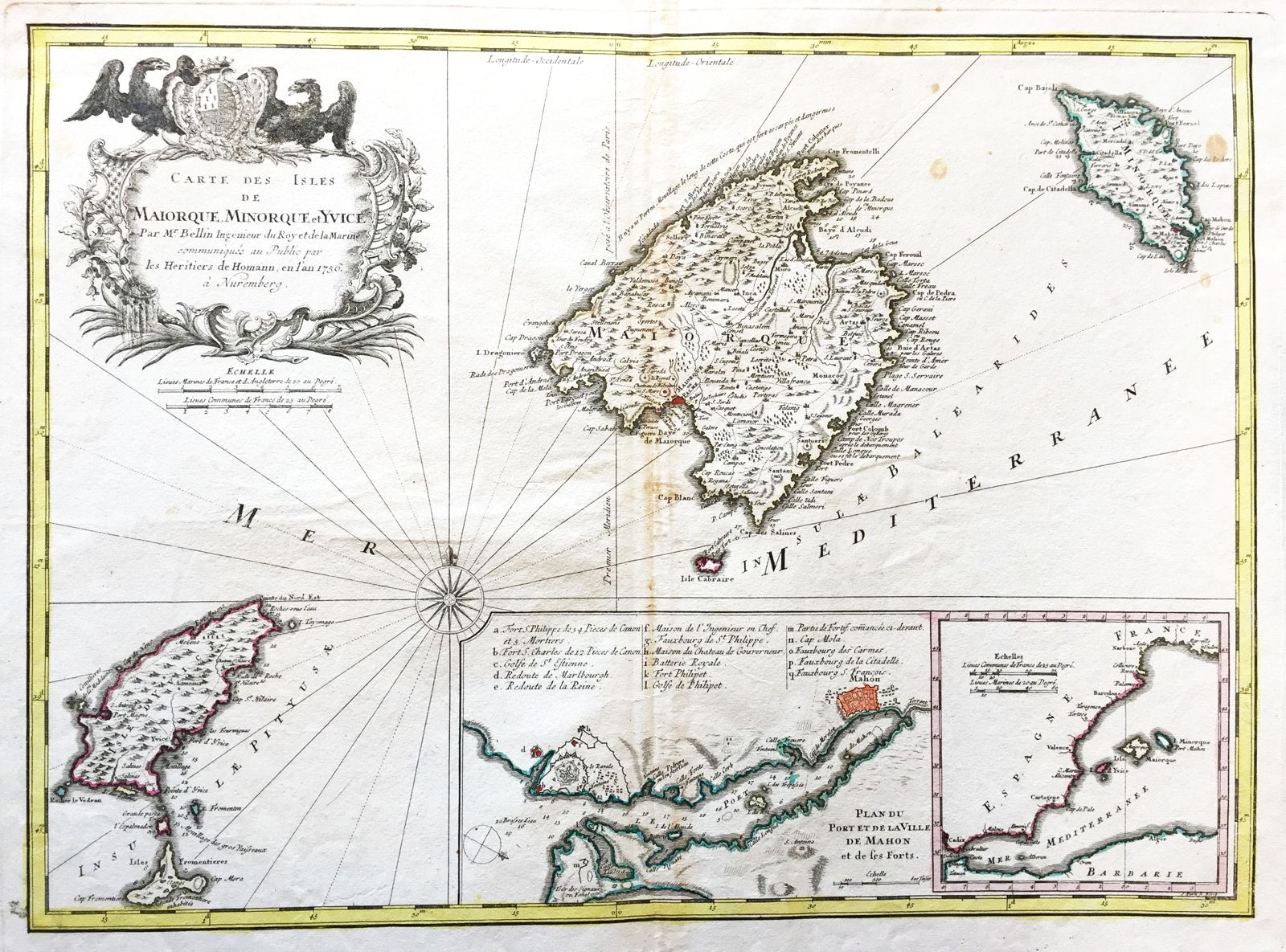
Carte des Isles de Maiorque, Minorque et Yvice
This item has been sold. Please check our homepage for currently available maps.
Bellin's highly detailed, large-scale map of the Balearic Islands, published in Nuremburg by the Homann firm. In addition to an elaborate title cartouche surmounted by imperial eagles, the map includes two insets: A plan of the port and town of Mahon with a letter key to the city's principal sites and monuments, and a map of the Strait of Gibraltar and the western Mediterranean that serves as a locator map for the Balearics. Item Number: rs1302
Cartographer: Bellin / Homann Heirs
Place & Date: Nuremberg / 1756
Size: 21 7/8" x 16"
Condition: outline color; overall age toning, browning along centerfold and some spotting
Price: SOLD