
use +/- or mouse scrollwheel for magnification. click here for full-sized image.
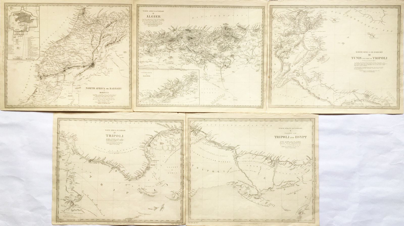
North Africa or Barbary I – V
This item has been sold. Please check our homepage for currently available maps.
A suite of five highly detailed maps of northern Africa from the Society for the Diffusion of Useful Knowledge atlas. Plate I features Morocco, with an inset plan of "the city of Marocco" (Marrakesh) that includes a numerical key to the gates of the city and a letter key to the major sites and monuments. Plate II, "Algier," features Algeria, with an inset continuation map of eastern Algeria to the Moroccan border (also includes a translation guide for Arabic geographical terms). Plate III is of Tunisia and part of Tripoli (modern Libya). Plates IV and V feature Tripoli and western Egypt to Alexandria. A superbly detailed depiction of the Barbary States, known today as the Maghreb. Item Number: pb2874
Cartographer: Baldwin & Cradock, Society for the Diffusion of Useful Knowledge
Place & Date: London / 1836/1852
Size: 15 1/4" x 12 1/2"
Condition: b&w; overall age toning
Price: SOLD