
use +/- or mouse scrollwheel for magnification. click here for full-sized image.
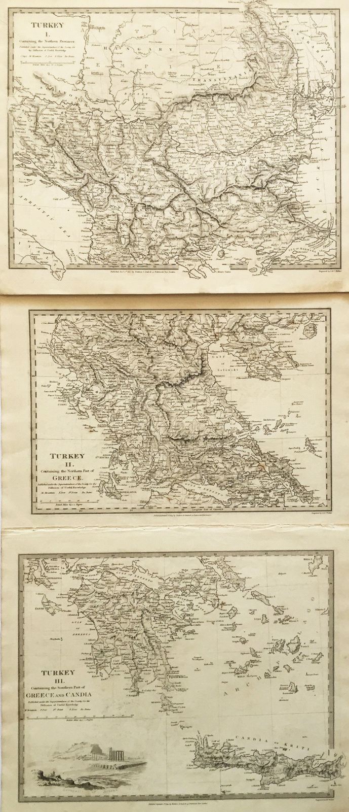
Turkey I, II and III
This item has been sold. Please check our homepage for currently available maps.
A set of three extremely detailed maps of the Turkish Empire in Europe from the SDUK atlas. Turkey I encompasses the northern provinces from Croatia east to Moldova and south to northern Greece. Turkey II encompasses northern Greece down to the gulfs of Patras and Lepanto. Turkey III is a superb map of the Peloponnese, Crete, and part of the Greek archipelago, including a charming inset view of the Acropolis. Item Number: pb1255
Cartographer: Baldwin & Cradock, Society for the Diffusion of Useful Knowledge
Place & Date: London / 1830/1852
Size: 15" x 12 1/2" (the largest of the three maps)
Condition: b&w; some light overprinting; a repaired tear in the upper left corner of Turkey I
Price: SOLD