
use +/- or mouse scrollwheel for magnification. click here for full-sized image.
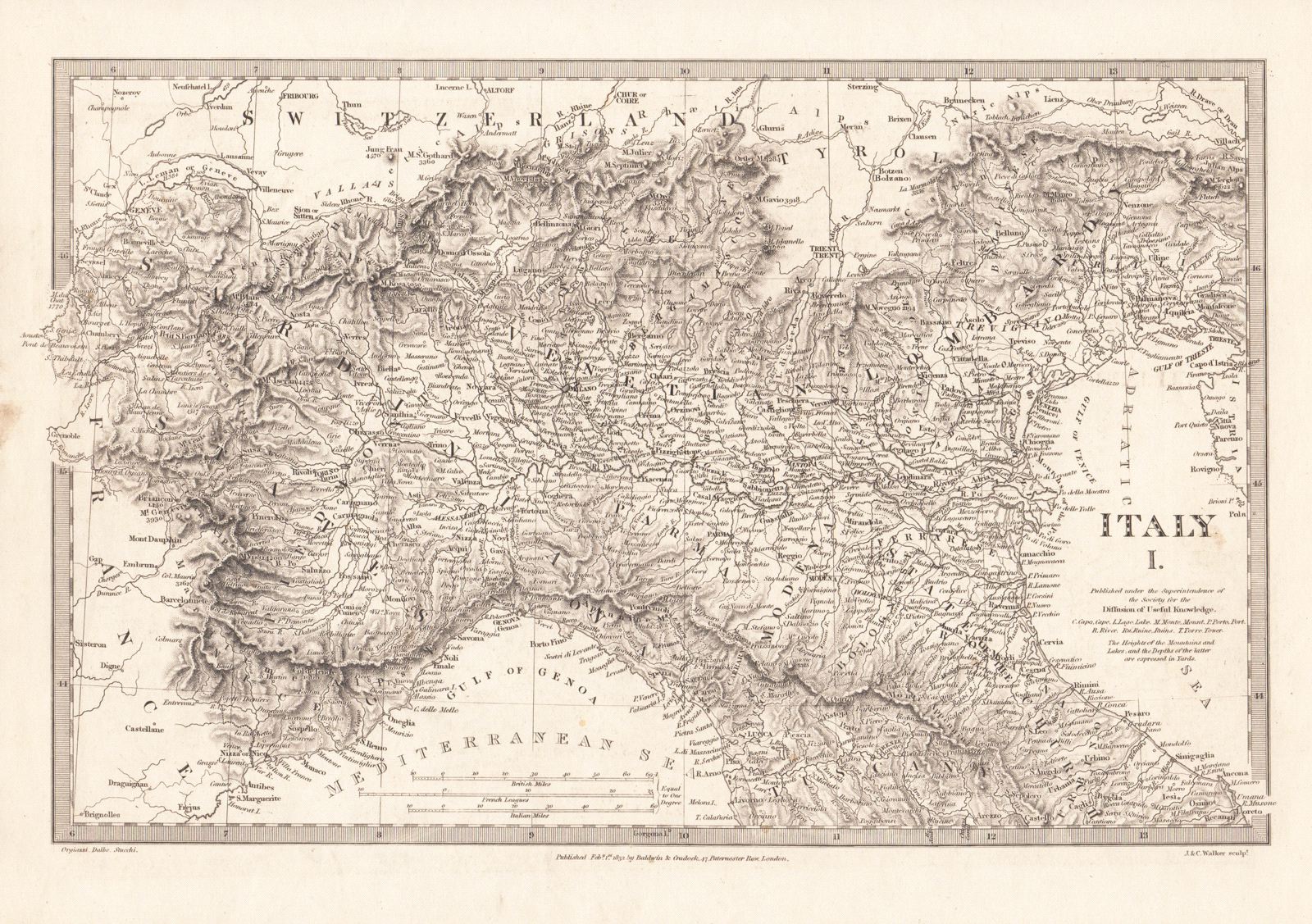
Italy I, II, and III
This item has been sold. Please check our homepage for currently available maps.
A set of three highly detailed maps from the SDUK atlas showing northern Italy down to Tuscany (Italy I), central and southern Italy to the gulfs of Policastro and Tarranto (Italy II), and the wonderful Sicily map (Italy III), featuring the toe of the Italian Peninsula, Sicily and Lipari Islands in the center of the sheet, and the Maltese Islands to the south. Includes a great many place names and excellent topographical details. Item Number: pb1248
Cartographer: Baldwin & Cradock, Society for the Diffusion of Useful Knowledge
Place & Date: London / 1830/1852
Size: 14 7/8" x 11 1/4" (the largest of the three maps)
Condition: b&w; light overall age toning and some minor staining; some overprinting, mostly on Map III
Price: SOLD