
use +/- or mouse scrollwheel for magnification. click here for full-sized image.
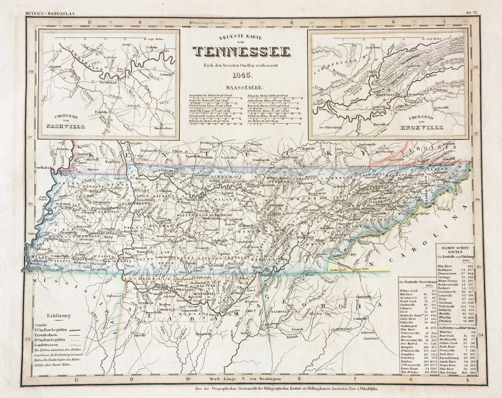
Neueste Karte von Tennessee
This item has been sold. Please check our homepage for currently available maps.
The beautifully detailed and colored map of Tennessee, from the 1845 edition of Meyer's Hand-Atlas. Includes a key to canals, railroads, and main roads; steamship routes between Nashville and New Orleans and Nashville and Pittsburgh and inset maps of the Nashville region and of the Knoxville region. Item Number: ns1591
Cartographer: Bibliographischen Instituts.
Place & Date: Hildburghausen / 1845
Size: 14 5/8" x 11 3/4"
Condition: original outline color; overall age toning and minor staining and some overprinting in margins
Price: SOLD