
use +/- or mouse scrollwheel for magnification. click here for full-sized image.
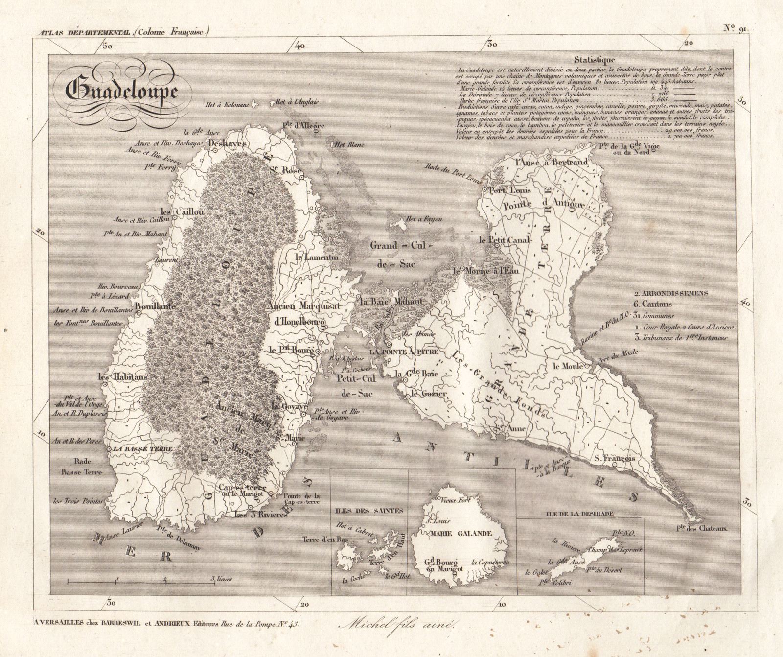
Guadeloupe
The highly detailed Guadeloupe map from Barreswill & Andrieux's Atlas Departmental, with inset maps of Marie Galante, Les Saintes, and La Desirade; a key to municipalities; and statistical notes on the geography and economy of the islands.
Item Number: h1200
Cartographer: Michel fils / Barreswill & Andrieux
Place & Date: Versailles / 1836
Size: 9" x 7 1/4"
Condition: b&w; light overall age toning, some spotting mainly in the lower margin
Price: $135.00