
use +/- or mouse scrollwheel for magnification. click here for full-sized image.
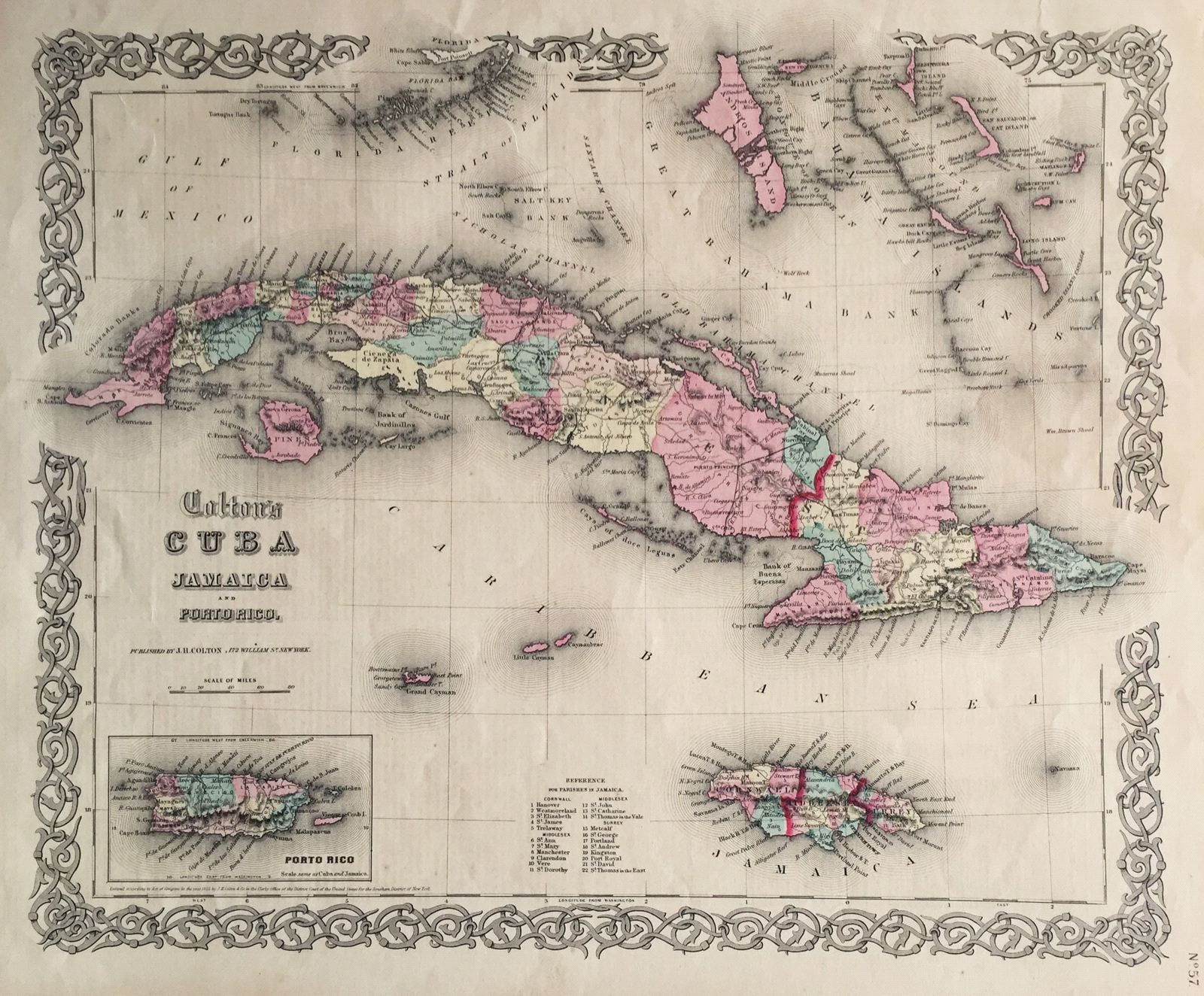
Colton's Cuba, Jamaica and Porto Rico.
This item has been sold. Please check our homepage for currently available maps.
The first edition of Colton's striking map of three of the four Greater Antilles, with Puerto Rico depicted in an inset. Cuba is shown with 32 provinces, roadways, and railways. Next to Jamaica is a listing of the parishes within each county. A highly decorative strapwork border surrounds the whole. Item Number: gg1826
Cartographer: Colton
Place & Date: New York / 1855
Size: 15 1/2" x 13"
Condition: light, even overall age toning, otherwise a beautifully preserved exemplar
Price: SOLD