
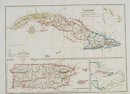
Isla de Cuba/Antillas Espanolas/Isla de Puerto Rico
This item has been sold. Please check our homepage for currently available maps.
Three highly detailed maps on one sheet. The top map of Cuba shows the island divided into its "new territorial divisions." Beneath it are a map of Puerto Rico and a simple outline map of the West Indies. A scarce Spanish find. Item Number: gg1738
Cartographer: Camilo Alabern
Place & Date: Barcelona / 1850
Size: 16 1/4" x 11 3/4"
Condition: outline color; overall age toning; some browning and spotting mostly in the margins
Price: SOLD