
use +/- or mouse scrollwheel for magnification. click here for full-sized image.
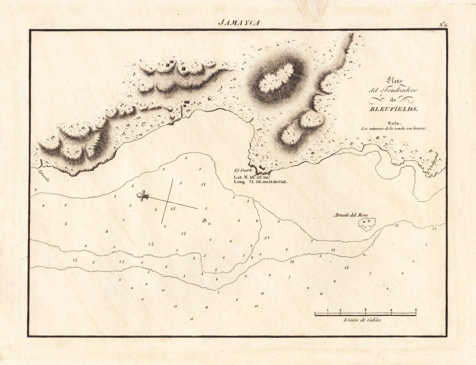
Plano del Fondeadero de Bluefields.
This item has been sold. Please check our homepage for currently available maps.
This very detailed, early 19th-century Spanish chart of Bluefields anchorage in Jamaica includes coastal features, soundings, and topographical details. From the Portulano de la America Septentrional, the Spanish Admiralty's scarce sea-atlas of the coasts of North and Central America. Item Number: gg1682
Cartographer: Direccion de Hidrografia
Place & Date: Madrid / 1809
Size: 9 3/8" x 7 1/8"
Condition: b&w; overall age-toning; worm hole in upper margin restored
Price: SOLD