
use +/- or mouse scrollwheel for magnification. click here for full-sized image.
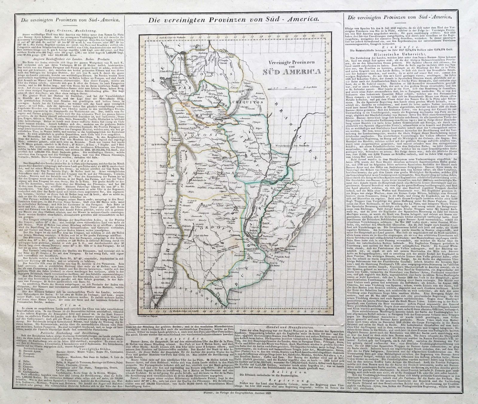
Die vereingten Provinzen von Sud-America
This item has been sold. Please check our homepage for currently available maps.
The United Provinces of South America map from the scarce German edition of the Carey & Lea Geographical, Statistical, and Historical Atlas. The short-lived United Provinces included northern Chili, northern Argentina, and what is now Paraguay and Bolivia. As in the original American edition, the Weimar map is surrounded on three sides by descriptive text on the geography, history and economy of the region. Item Number: gg1383
Cartographer: Verlage des Geographrischen Instituts
Place & Date: Weimar / 1823
Size: 20 1/8 x 17 1/4"
Condition: outline color; overall age toning
Price: SOLD