
use +/- or mouse scrollwheel for magnification. click here for full-sized image.
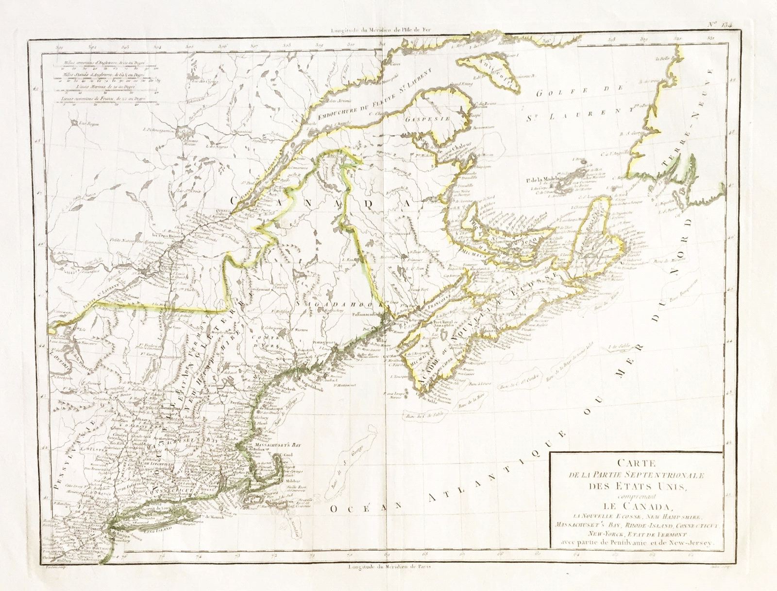
Carte de la Partie Septentrionale des Etats Unis comprenant le Canada
This item has been sold. Please check our homepage for currently available maps.
The highly detailed map of the "northern part of the United States, including Canada, Nova Scotia, New Hampshire, Massachuset's Bay, Rhode-Island, New -Yorck , the state of Vermont, and parts of Pennsylvania and New Jersey," from Chanlaire & Mentelle's Atlas Universel de Geographie Physique et Politique. A beautifully preserved exemplar with delicate outline color. Item Number: g1170
Cartographer: Chanlaire & Mentelle / Tardieu
Place & Date: Paris / 1798
Size: 16 3/4" x 13"
Condition: outline color; mild fraying along outer edges of margins
Price: SOLD