
use +/- or mouse scrollwheel for magnification. click here for full-sized image.
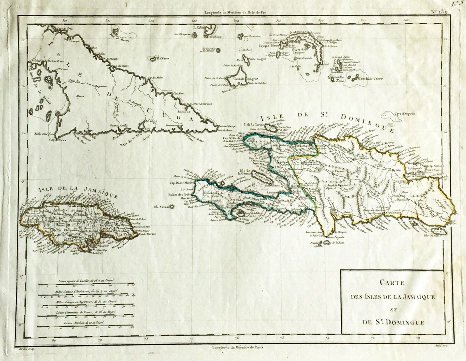
Carte des Isles de la Jamaique et de St. Domingue
This item has been sold. Please check our homepage for currently available maps.
The highly detailed, beautifully designed Hispaniola and Jamaica map from Chanlaire & Mentelle's Atlas Universel de Geographie Physique et Politique. Item Number: W1061
Cartographer: Chanlaire & Mentelle / Tardieu
Place & Date: Paris / 1798
Size: 16 3/4" x 13"
Condition: outline color; light browning along right edge of the map and margin
Price: SOLD