
use +/- or mouse scrollwheel for magnification. click here for full-sized image.
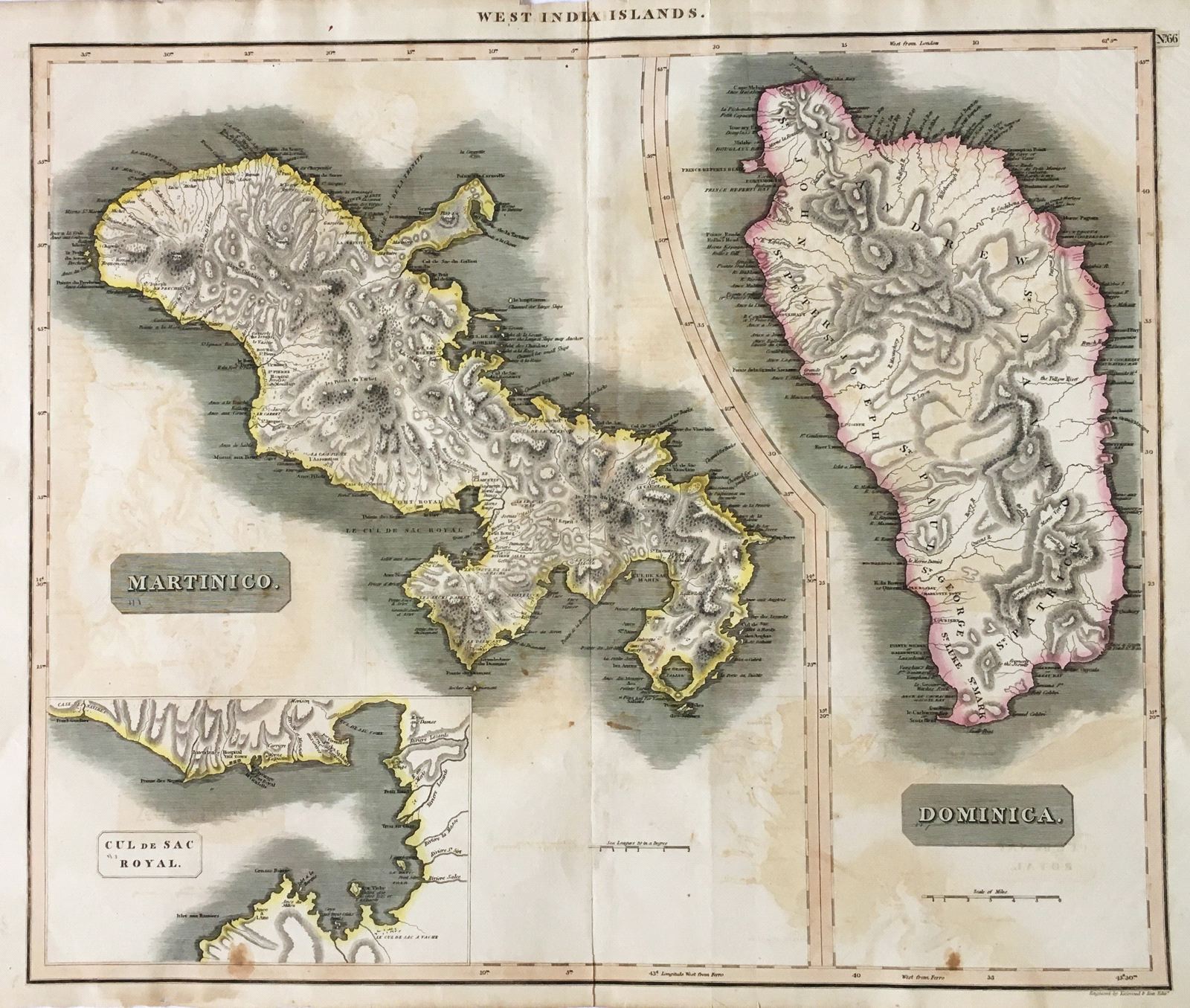
West India Islands. Martinico. Dominica.
This item has been sold. Please check our homepage for currently available maps.
Two islands on one sheet, from Thomson's New General Atlas, both with dramatic topography and numerous place names. The Martinique map includes an inset of the "Cul de Sac Royal," or Fort Royal bay. Item Number: SW1576
Cartographer: John Thomson
Place & Date: Edinburgh / 1816
Size: 23" x 19 1/2"
Condition: outline color; overall age toning and overprinting, some browning and staining, mostly in margins, and some fraying along margin edges
Price: SOLD