
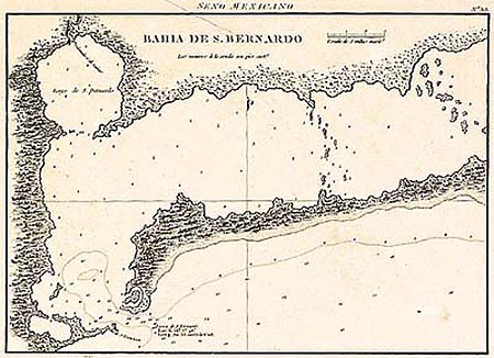
Bahia de S. Bernardo
This item has been sold. Please check our homepage for currently available maps.
A rare, early Spanish chart of part of San Bernardo (Matagorda) Bay, Texas, from the Portulano de la America Septentrional, the Spanish Admiralty's scarce sea-atlas of the coasts of North and Central America. This is the earliest detailed printed chart of the region. Item Number: SB987
Cartographer: Spanish Admiralty
Place & Date: Madrid / 1809
Size: 10 1/4" x 7 3/4"
Condition: b&w; overall age-toning and light spotting; paper crease along the top
Price: SOLD