
use +/- or mouse scrollwheel for magnification. click here for full-sized image.
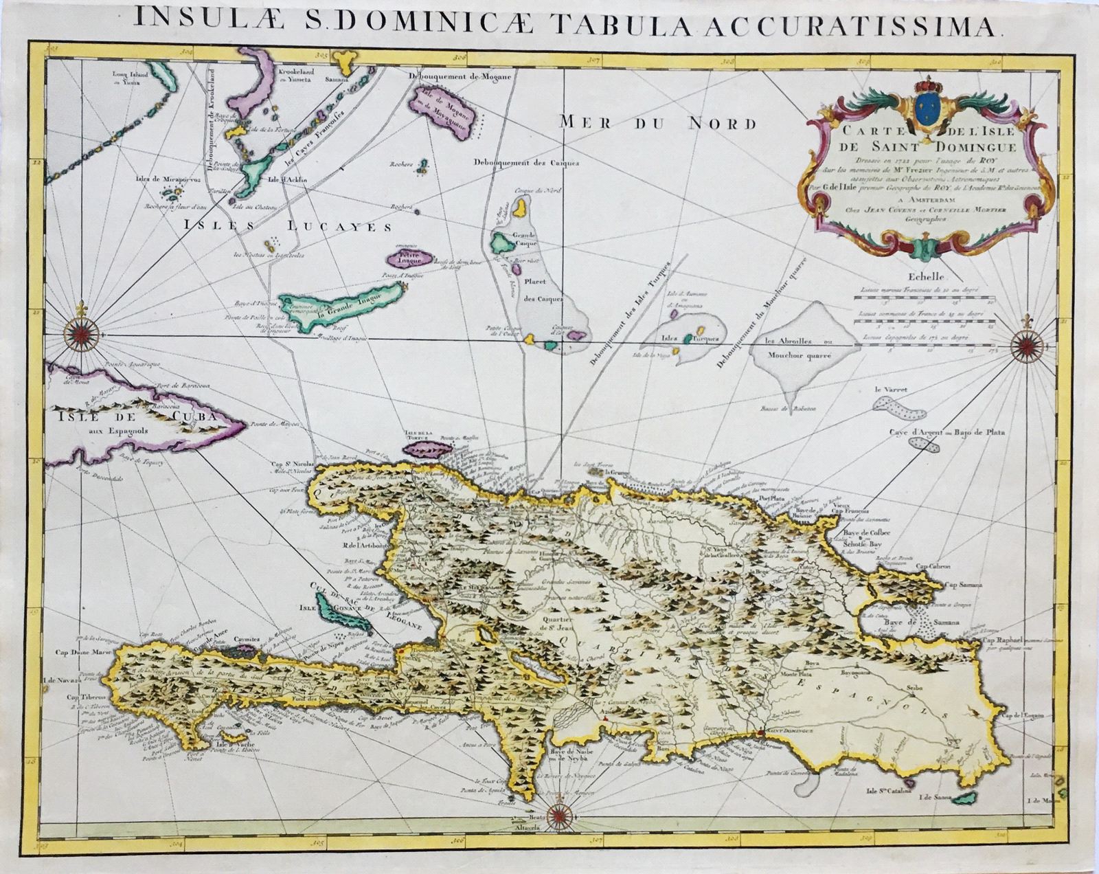
Insulae S. Dominicae Tabula Accuratissima
This item has been sold. Please check our homepage for currently available maps.
A later Dutch edition of the important de l'Isle map of Hispaniola, one of the first to depict the island's true contours following Frezier's "correction" of 1722. Item Number: RS2867
Cartographer: de l'Isle / Covens & Mortier
Place & Date: Amsterdam / 1730
Size: 24 1/8" x 19 1/2"
Condition: Attractive wash color; washed and backed
Price: SOLD